What is recorded here
Garraunawarrig Upper holds a burial ground where local information claims executions occurred during penal times, though no markers remain visible today. The site may occupy a small triangular area at a road bend, enclosed by a low earthen fence and choked with vegetation. Bowman recorded the place in 1934 but found no trace of the church or graves, suggesting the land itself has erased the evidence rather than preserving it.
Bowman (1934, 178) recorded 'church site (14480) and burial ground in Mr Kenny's land. No sign of either there now'. Exact location not known locally. May be small triangular area (c. 15m NW-SE; c. 10m NE-SW) at bend in road, enclosed by earthen field fence (H 1.1m). Interior overgrown; no grave markers evident. According to local information, executions were carried out here during penal times.
The above description is derived from the published 'Archaeological Inventory of County Cork. Volume 4: North Cork' (Dublin: Stationery Office, 2000). In certain instances the entries have been revised and updated in the light of recent research.
Date of upload/revision: 14 January 2009
The monument record does not grant public access. Check the route and ask the landowner before entering private land.
- What survives
- Recorded monument
Places near here
 Church in Garraunawarrig UpperChurch · 1 yd
 farmyard complexfarmyard complex · 327 yd
 CastleCastle, unclassified · 863 yd
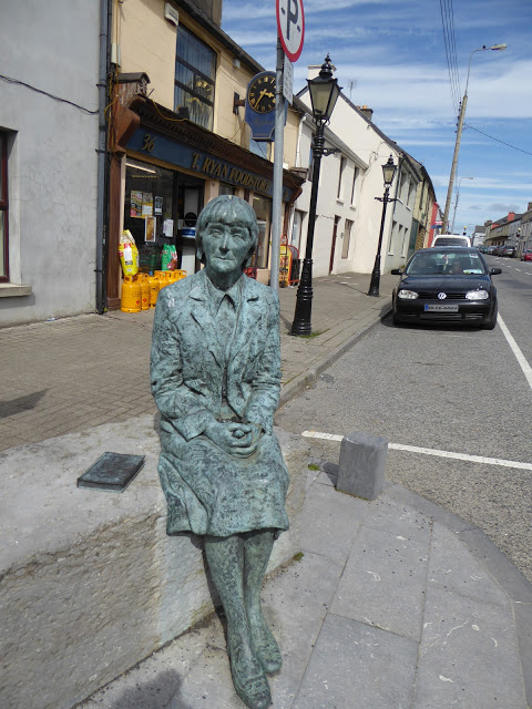 Alice Taylor MonumentMonument · 1017 yd
 Enclosure in LongacreEnclosure · 1509 yd
 Stanner's Glen, Priory WoodWood · 1.4 mi
 Castle McAuliffe (Site of)Castle, unclassified · 1.8 mi
 Hanna SheehyMemorial · 4.2 mi
 Kanturk CastleHeritage attraction · 5.0 mi
 KnockacummerMountain / peak · 5.7 mi
 TaurMountain / peak · 6.1 mi
 Burial ground in AssolasBurial ground · 6.7 mi