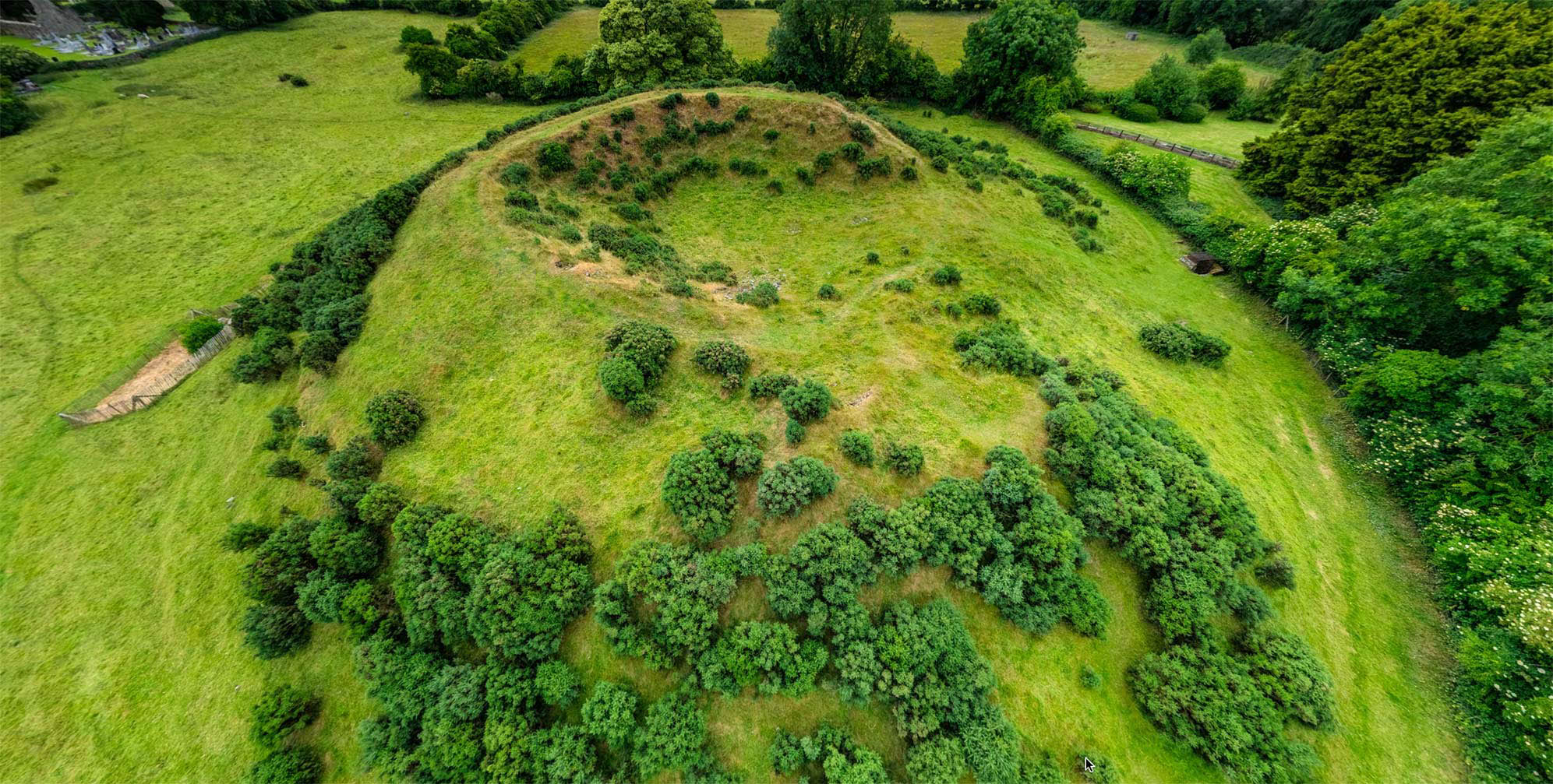
What is recorded here
Dromduff East holds thirty plus single stone markers beneath one oak at the southern edge of a pasture field, locally remembered as a famine burial ground. The stones cluster instead of forming rows, as if urgency replaced ceremony and the living had no time to measure dignity. That the oak still stands above them turns the field into a chamber where forgetfulness becomes a choice rather than a default.
Single stone markers (30 plus) under a single oak tree near S edge of a pasture field. Known locally as a famine burial ground.
Compiled by: Matt Kelleher based on information supplied by Davis Myler
Date of upload/revision: 27 March 2023
The monument record does not grant public access. Check the route and ask the landowner before entering private land.
- What survives
- Recorded monument
Places near here
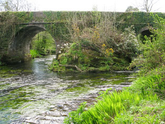 Lisheen Bridgebridge · 1448 yd
 Rose Cottagehouse · 1521 yd
 Daly's LoopWalking route · 1675 yd
 Enclosure in Lisheen (bantry By.)Enclosure · 1746 yd
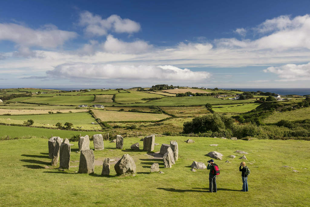 StonesBoulder-burial · 1759 yd
 Coomhola Salmon Trust (Streamscapes)Museum · 1.3 mi
 Snave StrandBeach / strand · 1.4 mi
 Bulls PocketMountain / peak · 1.7 mi
 Castle (in Ruins)House, fortified house · 1.7 mi
 Ballylickey BayBay · 2.1 mi
 Carriganass CastleCastle · 2.1 mi
 Snave BayBay · 2.3 mi
Other information
Photo: Credit not shown in the picture search · Rights wording not checked; contact us if this picture should be removed