
What is recorded here
Situated on an elevated sandy knoll with ground falling away in all directions but particularly to the south and west. Human remains were uncovered in the rear garden of a modern bungalow in Corgarve and the site had been initially visited by Laureen Buckley on behalf of the National Museum of Ireland [NMI] who…
Read the whole record
From the National Monuments Service (Archaeological Survey of Ireland) record WM031-117
Places near here
Photo credits
- National Inventory of Architectural Heritage
- Maker not stated on source page, www.pinterest.com
- Maker not stated on source page, commons.wikimedia.org
- Mike Searle, Geograph · CC BY-SA 2.0
- Maker not stated on source page, www.irishstar.com
- Maker not stated on source page, pixels.com
- Maker not stated on source page, www.geograph.ie
- Maker not stated on source page, in.pinterest.com
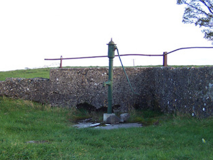 water pump441 yd
Explorer Tom The Ballyhattan water pump was built by someone who was really thinking about how weird they wanted to look. Its…
 Church in CorgarveChurch · 459 yd
Explorer Tom Church in Corgarve once hosted a dramatic argument about where the vicar should park his horse. The whole townland…
 CairnCairn, unclassified · 543 yd
Explorer Tom Cairn in Ballyhattan is sitting right by four roads, watching everyone rush past without saying hello. I bet two lovers…
 Donore BridgeBridge · 800 yd
Explorer Tom Donore Bridge in Ballinlig would tell its younger self to stop worrying about those rough stone arches and just enjoy…
 bridge836 yd
Explorer Tom Bridge in Ballinlig would describe the 1800s to a teenager as 'a time when trains were cool and we built things that…
 mill (water)914 yd
Explorer Tom Mill at Syonan is still grinding its teeth after a century of sitting derelict, dreaming of flour sacks and dodgy…
 Stone circle in Skeheen (nagle)Stone circle · 936 yd
Explorer Tom Stone circle in Skeheen makes a weird clicking sound at night that I’m 100% sure is just stones settling but everyone…
 Syonan CastleCastle, tower house · 943 yd
Explorer Tom Syonan Castle nearly became famous when a famous painter got stuck in its doorway for three days straight. He painted…
 Fairy fort / earthen ringfort in Skeheen (evans)Fairy fort / earthen ringfort · 1.2 mi
Explorer Tom This fairy fort in Skeheen started from a bet two lads made in the pub about who could dig a hole. The house site…
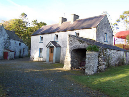 farm house1.3 mi
Explorer Tom Farm house in Sraneeg is holding its breath like it’s still hiding from the 1846 earl. I bet the first owner had a…
 Donore CastleCastle, tower house · 1.4 mi
Explorer Tom Locals swear if you knock on Donore Castle's door at midnight, a poltergeist will answer with a rude comment about your…
 Standing stone in ArdnurcherStanding stone · 1.4 mi
Explorer Tom Standing stone in Ardnurcher has levelled itself flat on purpose because it got bored of being tall and wanted a nap in…
More archaeology and monuments in County Westmeath · All of County Westmeath

What do you know about this place?Tap to add a comment or ask a question