What is recorded here
South of Cartanstown Lough, a forgotten graveyard sleeps beneath the grass. Local tradition still points to the burials, keeping the dead visible long after stones vanished. The land remembers what people stopped naming.
The following description is derived from both the published 'Archaeological Inventory of County Louth' (Dublin: Stationery Office, 1986) and the 'Archaeological Survey of County Louth' (Dublin: Stationery Office, 1991). In certain instances the entries have been revised and updated in the light of recent research.
Revised by: Claire Breen
Date of upload: 5 November 2010
Local tradition of a graveyard to S of Cartanstown Lough.
The monument record does not grant public access. Check the route and ask the landowner before entering private land.
- What survives
- Recorded monument
Places near here
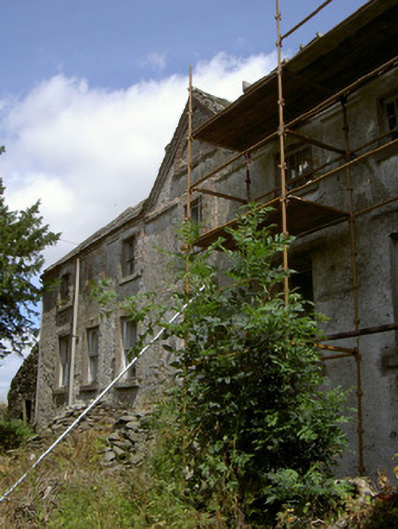 Cartanstown Househouse · 485 yd
 ToberanelshyHoly well · 853 yd
 Mass-rock in KearneystownMass-rock · 1183 yd
 Church (in Ruins)Church · 1447 yd
 CastleCastle, motte · 1473 yd
 Chapel (in Ruins), GraveyardChurch · 1.9 mi
 MonasterboiceEarly monastic site · 2.2 mi
 Muiredach's High CrossHeritage attraction · 2.2 mi
 BarabonaMountain / peak · 3.1 mi
 Drummond TowerCastle · 3.7 mi
 Black HillMountain / peak · 4.3 mi
 Pedunculate OakPedunculate Oak · 4.8 mi