What is recorded here
Mutton and berries on half an acre, then dune grass and a long flat ridge where the field bends. I heard a woman say the Danes fell there in a single night, but she smiled as if she doubted her own tongue. I walked the ridge at dawn and found shallow pits, not graves, cut by water and abandoned. The story needs a victim, a date and a dead man; the field offers only rain, sand and the shape of a line. I prefer the field. It does not want to be believed, only watched.
The following description is derived from both the published 'Archaeological Inventory of County Louth' (Dublin: Stationery Office, 1986) and the 'Archaeological Survey of County Louth' (Dublin: Stationery Office, 1991). In certain instances the entries have been revised and updated in the light of recent research.
Date of upload/revision: 17 July 2007
Local tradition of burials in field known as 'the Danes' graveyard'.
The monument record does not grant public access. Check the route and ask the landowner before entering private land.
- What survives
- Recorded monument
Places near here
 Man-made underground passage in Bellurgan (dundalk Lwr By; Ballyboys Par.)Man-made underground passage · 359 yd
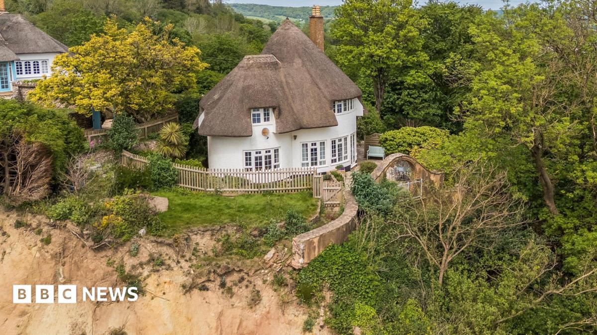 Cliff-edge fort in JenkinstownCliff-edge fort · 436 yd
 Drumisnagh HillMountain / peak · 751 yd
 Trumpet HillMountain / peak · 902 yd
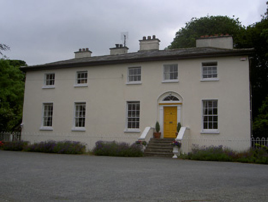 The Old Rectoryrectory/glebe/vicarage/curate's house · 1009 yd
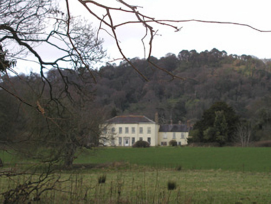 Bellurgan Parkhouse · 1240 yd
 CastleCastle, tower house · 1.6 mi
 Proleek DolmenArchaeological place · 1.6 mi
 Soldiers' PointHeadland · 1.9 mi
 Cooley MountainsMountain range · 2.5 mi
 Battle of FaughartMajor battlefield · 3.1 mi
 Bombing 1975Memorial · 3.8 mi