
What is recorded here
Mortons and Pim's are on either side, and the road is the edge of both. The land office still uses the old name, but the boundary has never matched the street. The village moved around the claim instead of correcting it, leaving a thin strip where neither map nor memory agrees.
Shown as rectangular field (c. 40m NW-SE; c. 50m NE-SW) on 1842 OS 6-inch map. NE and NW sides still remain as earthen banks (H c. 1m); other two levelled. Quarry in W angle. Known locally as burial ground. No surface evidence of burials.
The above description is derived from the published 'Archaeological Inventory of County Cork. Volume 3: Mid Cork' (Dublin: Stationery Office, 1997). In certain instances the entries have been revised and updated in the light of recent research.
Date of upload/revision: 14 January 2009
The monument record does not grant public access. Check the route and ask the landowner before entering private land.
- What survives
- Recorded monument
Places near here
 farm housefarm house · 807 yd
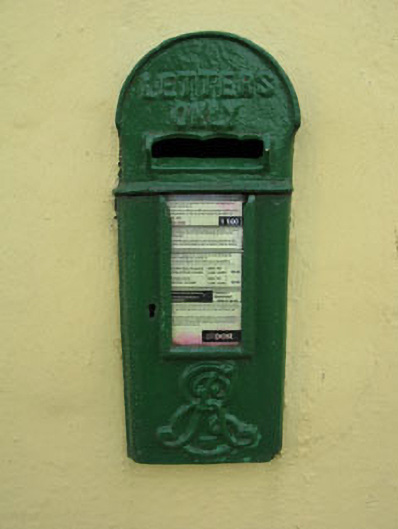 post boxpost box · 1255 yd
 Enclosure in Ballyvaloon (barretts By.)Enclosure · 1511 yd
 Castle (Site of)Castle, unclassified · 1664 yd
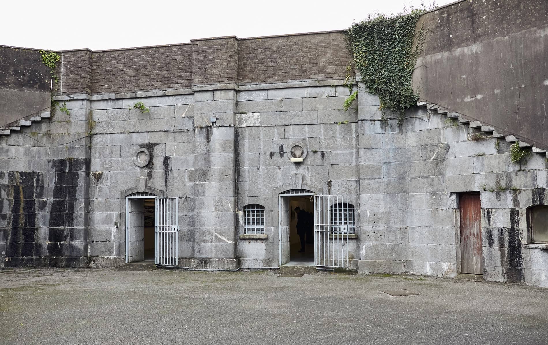 Enclosure in BallymorisheenEnclosure · 1.1 mi
 Pairc Ath Na hEornaMemorial · 1.5 mi
 Garrycloyne Castle (in Ruins)Castle, tower house · 2.0 mi
 Pakie HoganMemorial · 2.3 mi
 Lyradane MountainMountain / peak · 3.0 mi
 Rock HillMountain / peak · 3.4 mi
 BatsVisitor information · 3.6 mi
 Waterloo Loop WalkWalking route · 3.8 mi
Other information
Photo: Credit not shown in the picture search · Rights wording not checked; contact us if this picture should be removed