What is recorded here
In a level triangular area (c. 15m N-S; c. 9m E-W) at the junction of three roads. In the 1940s it was recorded that five soldiers of MacCarthy Reagh were buried here after an attack on the followers of O'Sullivan Bere (ITA). There are no visible remains of this possible burial ground at ground level. Volume 5' (Dublin: Stationery Office, 2009).
From the National Monuments Service (Archaeological Survey of Ireland) record CO123-076
This remains an important historical record, but the official description says the monument is no longer visible or has been destroyed. The monument record does not grant public access. Check the route and ask the landowner before entering private land.
- What survives
- No visible remains or recorded as destroyed
Places near here
Photo credits
- MrCorman, Wikimedia Commons · CC BY-SA 4.0
- National Inventory of Architectural Heritage
- Hywel Williams, Geograph · CC BY-SA 2.0
- John M, Geograph · CC BY-SA 2.0
- Mac McCarron, Geograph · CC BY-SA 2.0
- Jonathan Thacker, Geograph · Creative Commons Attribution-ShareAlike 2.0
- Garry Dickinson, Geograph · CC BY-SA 2.0
- Maker named on the Wikimedia Commons picture page · Public domain
- Wikipedian231, Wikimedia Commons · CC0
- Mike Searle, Geograph · CC BY-SA 2.0
 St Patrick's Roman Catholic ChurchChurch/chapel · 1011 yd
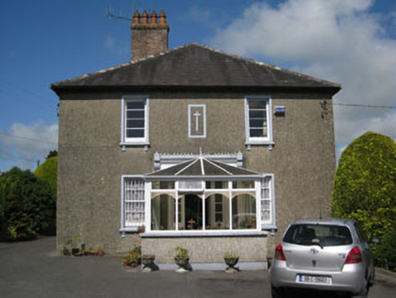 Kilbrittain Parochial HousePresbytery/parochial/curate's house · 1067 yd
 Trinity WellSpring · 1257 ydKilbrittain WoodWood · 1333 ydIndicatedHoly well · 1542 yd
 Flaxfort StrandBeach / strand · 1.4 mi
 Garranefeen StrandBeach / strand · 1.6 mi
 Grave YardGraveyard · 3.8 mi
 Kilgobbin CastleCastle · 4.9 mi
 English holly4.9 mi
 The Moving StatueHeritage attraction · 5.0 mi
 Castle BernardRuins · 5.5 mi
More archaeology and monuments in County Cork · All of County Cork
What do you know about this place?