What is recorded here
In tillage c. 200m SW of early ecclesiastical enclosure (CO123-022001-); known as 'St. Brittain's Well'. Covered by slab, water piped from it. Now disused. (CMSS).
From the National Monuments Service (Archaeological Survey of Ireland) record CO123-068
The monument record does not grant public access. Check the route and ask the landowner before entering private land.
- What survives
- Recorded monument
Places near here
Photo credits
- National Inventory of Architectural Heritage
- Hywel Williams, Geograph · CC BY-SA 2.0
- Mac McCarron, Geograph · CC BY-SA 2.0
- John M, Geograph · CC BY-SA 2.0
- Wikipedian231, Wikimedia Commons · CC0
- Jonathan Thacker, Geograph · Creative Commons Attribution-ShareAlike 2.0
- Mike Searle, Geograph · CC BY-SA 2.0
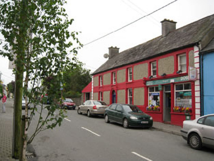 Kilbrittain Post OfficeHouse · 361 ydEcclesiastical enclosure in KilbrittainEcclesiastical enclosure · 368 yd
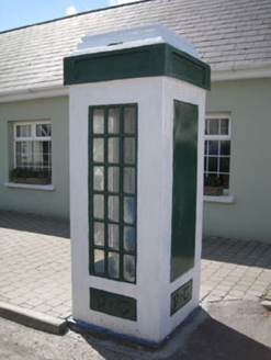 telephone box383 ydKilbrittain WhaleHeritage attraction · 444 ydKilbrittain WoodWood · 614 ydQuay WoodWood · 1427 yd
 Trinity WellSpring · 1.4 mi
 Garranefeen StrandBeach / strand · 1.6 mi
 Flaxfort StrandBeach / strand · 2.0 mi
 The Moving StatueHeritage attraction · 4.3 mi
 Grave YardGraveyard · 4.5 mi
 Castle BernardRuins · 5.4 mi
More archaeology and monuments in County Cork · All of County Cork
What do you know about this place?