What is recorded here
Thirty years of fever took the children from that valley, and Beinid dug each tiny grave beside her church before the rain could claim them. She stopped counting after the hundredth name because memory became a knife rather than a gift. The well water still runs red on winter mornings, feeding the roots of the rowan tree that grows through the broken altar stone.
Church ruins (LI029-056001-) known locally as Temple Beinid is depicted standing in E quadrant of rectangular shaped burial ground (approx. dims. 23m N-S x 36m E-W) on 1840 ed. OS 6-inch map. This burial ground was described in 1840 as a place where 'Only children are buried here now. About thirty yards [27m] to the southwest of this building is a well called Tobar Beinid, that is Beinid's Well [LI029-056003-]' (OSL, 62). The boundary of this burial ground is only indicated on the 1840 ed. OS 6-inch map where the holy well is shown lying outside the boundary of the burial ground. Today the church ruins stand inside a larger rectangular shaped area (approx. dims. 39m N-S x 58m E-W) which includes the children's burial ground and the holy well. No gravemarkers visible inside this enclosure on Digital Globe aerial photographs.
Compiled by: Caimin O'Brien
Date of upload: 22 January 2019
The monument record does not grant public access. Check the route and ask the landowner before entering private land.
- What survives
- Recorded monument
Places near here
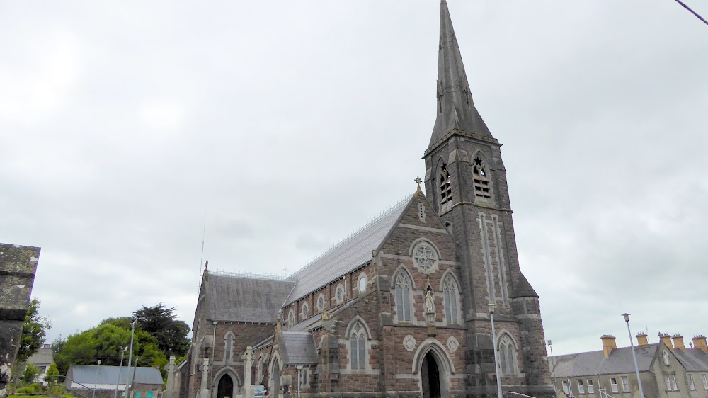 Church (in Ruins)Church · 8 yd
 European ashEuropean ash · 24 yd
 St. Bernards WellHoly well · 39 yd
 CastleCastle, tower house · 325 yd
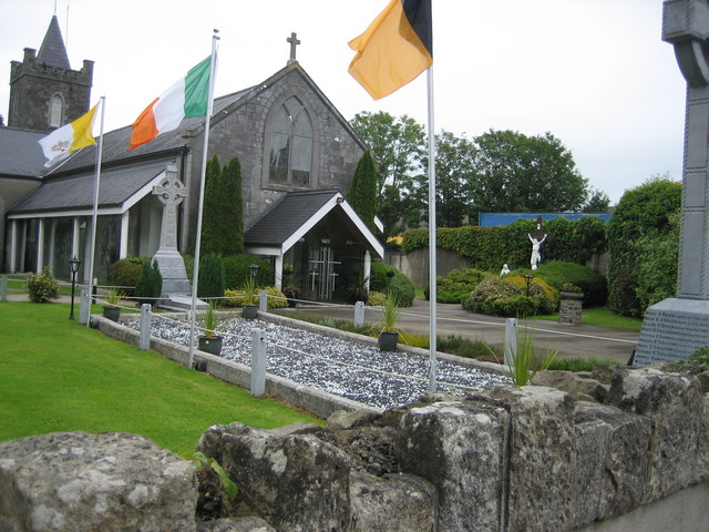 BarrowBarrow, unclassified · 1253 yd
 post boxpost box · 1.4 mi
 LaghtpatrickSpring · 2.1 mi
 Glebe CastleCastle · 2.2 mi
 TobernablahySpring · 2.3 mi
 Limerick GreenwayWalking route · 8.0 mi
 Sugar HillMountain / peak · 9.5 mi
 Ballagh MountainMountain / peak · 9.8 mi