What is recorded here
West of the 13th-century church, a narrow strip of marshy ground slopes downward into shadow. Once marked by rough, unnamed stones, it has been abandoned for centuries, now swallowed by scrub and forgetfulness. The dead who slept there left no names behind, only a quiet absence where memory should have stood.
On a natural terrace on a W-facing slope in wet, marshy terrain. The ground level falls away W of the W gable of the associated 13th-century church (KK001-004001-). According to the OS Letters of 1839, 'The ground attached is not now used as a burial place' (O'Flanagan 1930, vol. 1, 17). Carrigan (1905, vol. 2, 116) describes the graveyard as 'long unused, has only rough, uninscribed headstones'. The OS 6-inch map of 1899-1902 depicts a dashed line (dims. 20m E-W; c. 10m N-S) adjoining to the SE of the church (KK001-004001-) as 'Burial Ground (Disused)'. The dashed line suggests that the graveyard was not enclosed. There are no grave-markers evident, though these may be obscured or have been disturbed as the area is quite overgrown with deciduous trees and scrub.
Compiled by: Jean Farrelly
Date of upload: 30 May 2016
The monument record does not grant public access. Check the route and ask the landowner before entering private land.
- What survives
- Recorded monument
Places near here
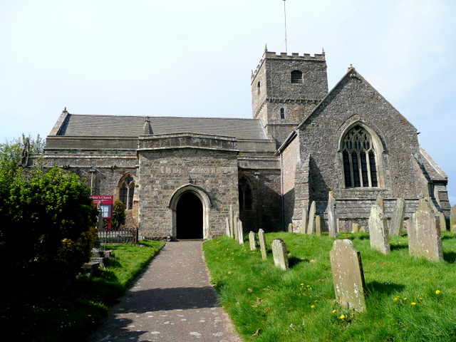 St. Chaddens Church (in ruins)Church · 10 yd
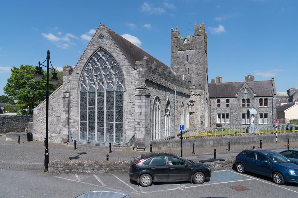 Abbey (in ruins)Religious house, unclassified · 259 yd
 Enclosure in Ironmills OR KilrushEnclosure · 1.1 mi
 Enclosure in CloghogeEnclosure · 1.1 mi
 1798 MonumentMemorial · 1.3 mi
 (Site of) CastleCastle, unclassified · 1.3 mi
 AskuarWood · 1.6 mi
 Common LimeCommon Lime · 1.6 mi
 Moat Castle in ruinsCastle, unclassified · 1.8 mi
 Heywood GardensHeritage attraction · 1.9 mi
 Graveyard in SraleaghGraveyard · 3.9 mi
 Anker's IslandIsland · 4.1 mi