What is recorded here
Thirty metres of forgotten dead lie beneath thistles in The Keel, their crude stone markers half-swallowed by grass and time. A low mound at the edge may still hold the bones of a church, while a holy well waits thirty metres away for hands that have stopped praying. The ground has not been forgotten, only released from the need to be watched.
Shown on 1842 OS 6-inch map as rectangular area (c. 40m NE-SW; c. 20m NW-SE) defined by broken line; shown as hachured square area (c. 30m x c. 30m) marked 'Disused' on 1905 and 1937 OS 6-inch maps. In pasture, on SW-facing slope, in field called 'The Keel' (Bowman 1934, 716). Square area (23.3m NE-SW; 22.5m NW-SE) enclosed by low earthen bank (H 0.65m), with external fosse (D 0.5m) on NE and NW sides. Interior overgrown with thistles. Low rectangular grass-covered mound, which may mark site of church (14487), extends into interior from SW bank. No grave markers noted; Bowman (ibid.) noted '18 rude stones varying in height from 4in to 6in mark the site of graves'. Holy well (14001) 31.5m to NE.
The above description is derived from the published 'Archaeological Inventory of County Cork. Volume 4: North Cork' (Dublin: Stationery Office, 2000). In certain instances the entries have been revised and updated in the light of recent research.
Date of upload/revision: 14 January 2009
The monument record does not grant public access. Check the route and ask the landowner before entering private land.
- What survives
- Recorded monument
Places near here
 Holy well in KeeltaneHoly well · 44 yd
 KilnKiln, lime · 1026 yd
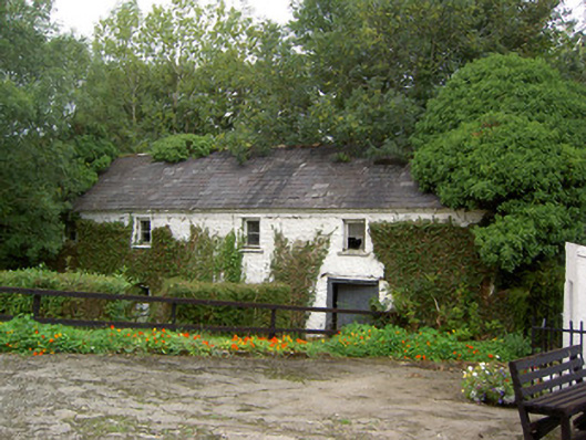 Coolbane Millmill (water) · 1069 yd
 Fulacht FiadhFulacht fia · 1617 yd
 Castle LisheenCastle · 2.7 mi
 National Co-op MuseumMuseum · 3.7 mi
 Carrig Castle (Site of)Castle, unclassified · 4.2 mi
 Battle of LiscarrollMajor battlefield · 4.3 mi
 Stanner's Glen, Priory WoodWood · 4.8 mi
 ToberacappeenSpring · 5.0 mi
 Mullaghareirk - Banane LoopWalking route · 6.7 mi
 Burial ground in AssolasBurial ground · 8.1 mi