What is recorded here
Immediately to the E of the graveyard (GA088-008----). This trapezoidal-shaped graveyard widens towards its WSW end and is bounded on three sides by much-collapsed stone walls. A field fence delimits the NNW side. Access is gained through a gateway at NW. The interior is divided into four sections by two sunken pathways that dissect one another in the centre. Graves are in lines running ENW-WSW and consist of rectangular sunken depressions (L 2m; Wth 0.8m; D 0.4m) marked by small, uninscribed, iron, ringed crosses (H 0.4m). The burial ground probably dates from the late 19th to the early 20th century.
Compiled by: Olive Alcock
Date of upload: 6 March 2014
The monument record does not grant public access. Check the route and ask the landowner before entering private land.
- What survives
- Recorded monument
Places near here
 IndicatedChurch · 69 yd
 Creagh ChurchChurch · 297 yd
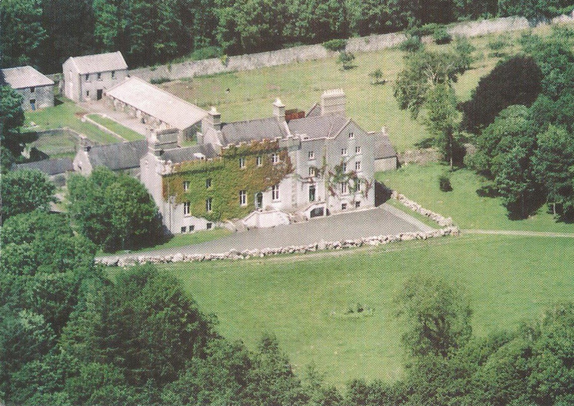 Enclosure in CreaghEnclosure · 356 yd
 Bawn in Townparks (moycarn By. - Ballinasloe)Bawn · 849 yd
 Enclosure in Ashford,rooaun (moycarn By.)Enclosure · 1.1 mi
 Ardcarn IslandsIslet · 2.0 mi
 Castle ParkCastle, unclassified · 2.7 mi
 West WoodWood · 2.8 mi
 Clooncoran IslandIsland · 3.6 mi
 Urraghry HillMountain / peak · 3.9 mi
 The bloody HollowHeritage attraction · 5.0 mi
 Battle of AughrimMajor battlefield · 5.2 mi