
What is recorded here
At N end of a large rectilinear graveyard, 250m N of a church (GA086-006----). According to Egan (1960, 118-19, also 116), this is the site of an early 18th-C 'Mass house' which was in use until 1824 when it was replaced by another church (GA088-008002-). Though no visible surface trace of it now survives, Egan (ibid.) describes it as rectangular in plan (E-W; L c. 20m, Wth c. 5.5m), 'the walls ... scarcely higher than those of a cabin'. The doorway was at W end of S wall. It was lit by a small window in S wall near the altar and by a series of 'unglazed loops in the side walls'. A 'larger pointed window' was later inserted in E gable over the altar. A holy water font originally located here is now in the later church.
The above description is derived from the published 'Archaeological Inventory of County Galway Vol. II - North Galway'. Compiled by Olive Alcock, Kathy de hÓra and Paul Gosling (Dublin: Stationery Office, 1999).
Date of upload: 05 August 2010
The monument record does not grant public access. Check the route and ask the landowner before entering private land.
- What survives
- Recorded monument
Places near here
 Creagh ChurchChurch · 258 yd
 Catholic Church of Our Lady of Lourdeschurch/chapel · 330 yd
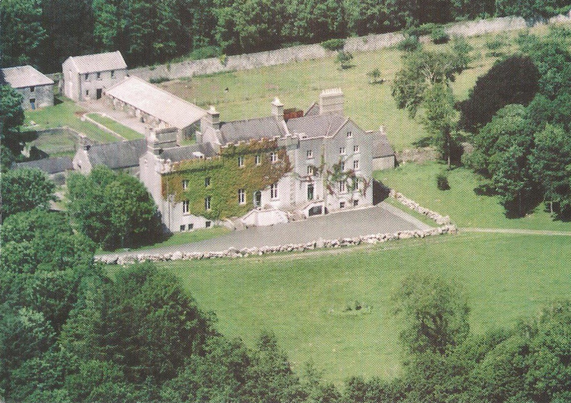 Enclosure in CreaghEnclosure · 421 yd
 Bawn in Townparks (moycarn By. - Ballinasloe)Bawn · 783 yd
 Enclosure in Ashford,rooaun (moycarn By.)Enclosure · 1.0 mi
 Ardcarn IslandsIslet · 2.0 mi
 West WoodWood · 2.8 mi
 Castle ParkCastle, unclassified · 2.8 mi
 Clooncoran IslandIsland · 3.6 mi
 Urraghry HillMountain / peak · 3.9 mi
 The bloody HollowHeritage attraction · 5.0 mi
 Battle of AughrimMajor battlefield · 5.2 mi
Other information
Photo: Credit not shown in the picture search · Rights wording not checked; contact us if this picture should be removed