What is recorded here
Thirty metres north to south and twenty-five east to west, the Kill burial ground kept its shape on Ordnance Survey maps from 1842 through 1940, sixty metres northwest of the Church of Ireland church. Fence clearance in the early 1980s levelled the last visible trace, leaving behind a D-shaped rise, a steep southern scarp, and no grave markers. Whatever lives beneath that ordinary field has stopped answering questions, yet local memory still points to it without hesitation.
In tillage on S side of small valley. Raised D-shaped area (5.8m N-S; 6m E-W) defined by steep scarp (H 1.5m) on S side. No grave markers noted.
The above description is derived from the published 'Archaeological Inventory of County Cork. Volume 1: West Cork' (Dublin: Stationery Office, 1992). In certain instances the entries have been revised and updated in the light of recent research.
Date of upload/revision: 14 January 2009
The monument record does not grant public access. Check the route and ask the landowner before entering private land.
- What survives
- Recorded monument
Places near here
 Hut site in KilbrownHut site · 736 yd
 CaherbaunFairy fort / earthen ringfort · 872 yd
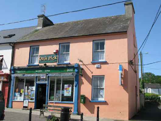 Goleen Post Officehouse · 1696 yd
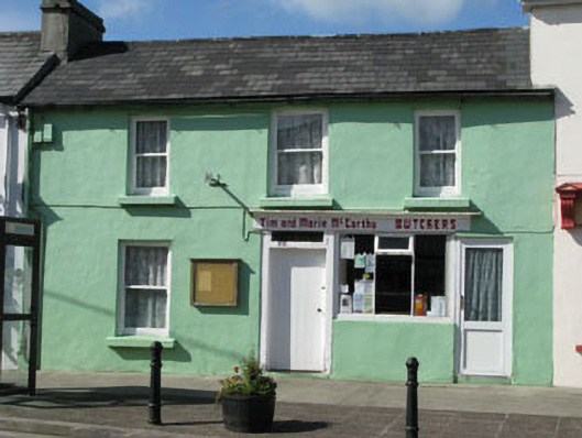 Tim and Marie McCarthy Butchershouse · 1708 yd
 KnocknamaddreeMountain / peak · 1.0 mi
 KnockaphucaMountain / peak · 1.2 mi
 Ballyrisode WoodWood · 2.2 mi
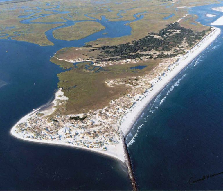 Bird IslandIslet · 2.3 mi
 Ballyrisode PointHeadland · 2.4 mi
 Creamery PlatformMemorial · 2.9 mi
 Dunmanus BayBay · 3.2 mi
 Castle (Site of)Castle, unclassified · 3.2 mi