What is recorded here
At SW edge of Dromcolliher village, on E side of road. Roughly rectangular graveyard (c. 50m E-W; c. 40m N-S), with recent extension to S. Near centre is fragmentary ruin of Dromcolliher parish church (LI054-040002-); interior of church filled with burial plots: on line of W gable is headstone dated 1769 whilst just inside line of E gable is one dated 1766 (oldest noted headstone); just N of church are series of late- 18th century headstones. Large vaulted tomb at NW corner of graveyard, by entrance gate, and a smaller tomb overlying part of N wall of church dated 1839.
Compiled by: Denis Power
Date of upload: 26 August 2011
The monument record does not grant public access. Check the route and ask the landowner before entering private land.
- What survives
- Recorded monument
Places near here
 St.Bartholomews Church (in ruins)Church · 8 yd
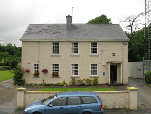 Dromcolliher Garda Síochána Stationhouse · 62 yd
 DromcolliherSettlement cluster · 198 yd
 National Co-op MuseumMuseum · 320 yd
 Burnt mound in Gardenfield SouthBurnt mound · 1698 yd
 ToberacappeenSpring · 1.4 mi
 CastleCastle, unclassified · 1.4 mi
 Castle LisheenCastle · 1.7 mi
 ToberhoranSpring · 3.1 mi
 Mullaghareirk - Banane LoopWalking route · 6.2 mi
 Ballagh MountainMountain / peak · 7.4 mi
 Stanner's Glen, Priory WoodWood · 8.0 mi