
What is recorded here
In centre of graveyard (LI054-04003-) fragmentary ivy-clad remains of parish church of Dromcolliher. Only parts of N and S walls now stand; built of roughly coursed blocks of stone. Described in 1840 as rectangular in plan, though W gable had fallen by then (OSL vol. 2, 21-2). North wall stands in two sections with gap at centre caused by insertion of burial vault; NE corner fallen and unclear whether present W end of wall original, but original length c. 25m. East wall missing both ends (internal width of church 6.5m) and surviving section heavily masked with ivy; gap (Wth 0.9m) near E end may be window position. Interior completely filled with burial plots, the earliest noted dated 1766 (near NE corner). East window described in 1840 as having a single pointed light (ibid.); there were also two very-damaged windows in S wall but no doorway evident (ibid.).
Compiled by: Denis Power
Date of upload: 26 August 2011
The monument record does not grant public access. Check the route and ask the landowner before entering private land.
- What survives
- Recorded monument
Places near here
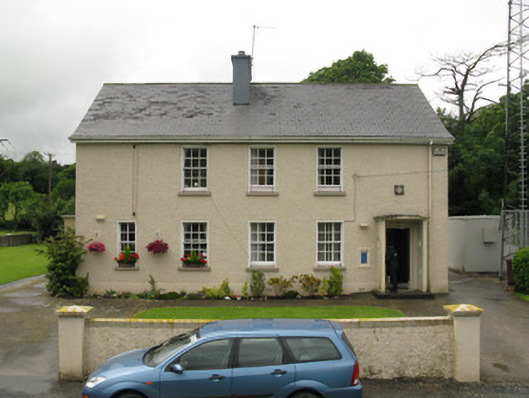 Dromcolliher Garda Síochána Stationhouse · 60 yd
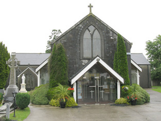 Saint Bartholomew's Catholic Churchchurch/chapel · 103 yd
 DromcolliherSettlement cluster · 204 yd
 National Co-op MuseumMuseum · 321 yd
 Burnt mound in Gardenfield SouthBurnt mound · 1702 yd
 ToberacappeenSpring · 1.4 mi
 CastleCastle, unclassified · 1.4 mi
 Castle LisheenCastle · 1.7 mi
 ToberhoranSpring · 3.1 mi
 Mullaghareirk - Banane LoopWalking route · 6.2 mi
 Ballagh MountainMountain / peak · 7.4 mi
 Stanner's Glen, Priory WoodWood · 8.0 mi
Other information
Photo: Credit not shown in the picture search · Rights wording not checked; contact us if this picture should be removed