
What is recorded here
In conifer plantation, 80m NE of townland boundary with Kells. Not marked on OSi historic maps. Burnt mound identified during afforestation works by Matt Kelleher in 2015 and described as a level spread of burnt mound material (dims. c. 3m x 3m; 0.1m below sod; max. diam. c. 7-10m) comprised of charcoal stained soil with inclusions of heat-shattered stone. No surface remains visible on Digital Globe orthoimage taken between 2011-2013 and on Google Earth orthoimages.
See attached Google Earth orthoimage
Compiled by: Fiona Rooney
Date of upload: 11 November 2021
Burnt mound in Gardenfield South is a Bronze Age ritual or industrial site, characterised by heat-shattered stones and associated with hearths or pyres. Its discovery provides insight into prehistoric land use and seasonal activity in the region.
The monument record does not grant public access. Check the route and ask the landowner before entering private land.
- What survives
- Recorded monument
Places near here
 ToberacappeenSpring · 1278 yd
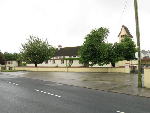 Scoil Naomh Iosefschool · 1343 yd
 CastleCastle, unclassified · 1369 yd
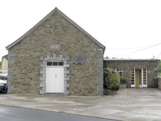 National Dairy Co-Operative Museumcreamery · 1398 yd
 National Co-op MuseumMuseum · 1399 yd
 Concentric enclosure in DoonyConcentric enclosure · 1477 yd
 DromcolliherSettlement cluster · 1515 yd
 Castle LisheenCastle · 1.8 mi
 ToberhoranSpring · 2.9 mi
 Mullaghareirk - Banane LoopWalking route · 7.1 mi
 Battle of LiscarrollMajor battlefield · 7.1 mi
 Ballagh MountainMountain / peak · 8.0 mi
Other information
Photo: Credit not shown in the picture search · Rights wording not checked; contact us if this picture should be removed