
What is recorded here
Discovered in 2013 in the course of a review of LIDAR data where it is visible as a possible concentric enclosure (diam. c. 160m).
The attached image is uploaded courtesy of Dr Steve Davis.
Compiled by: Denis Power
Date of upload: 14 October 2013
A local fairy fort (ringfort/rath); wider significance not recorded.
The monument record does not grant public access. Check the route and ask the landowner before entering private land.
- What survives
- Recorded monument
Places near here
 IndicatedHouse, vernacular house · 463 yd
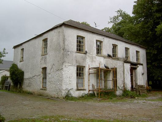 Hardingville Housecountry house · 720 yd
 Burnt mound in Gardenfield SouthBurnt mound · 1477 yd
 Enclosure in DoonyEnclosure · 1669 yd
 Castle LisheenCastle · 1.2 mi
 National Co-op MuseumMuseum · 1.3 mi
 Castle (in Ruins)Castle, Anglo-Norman masonry castle · 1.3 mi
 ToberacappeenSpring · 1.5 mi
 ToberhoranSpring · 3.6 mi
 Battle of LiscarrollMajor battlefield · 6.3 mi
 Mullaghareirk - Banane LoopWalking route · 7.6 mi
 Stanner's Glen, Priory WoodWood · 8.6 mi
Other information
Photo: Credit not shown in the picture search · Rights wording not checked; contact us if this picture should be removed