
What is recorded here
O'Toole measured the buried church in 1933, proving that a nave and chancel once stood beneath the small walled graveyard in County Carlow. The lowest stone courses still break through the soil like the ribs of a forgotten room. People may have stopped praying there when the building fell, yet they kept returning to bury their dead beside its hidden bones.
The following description is derived from the published 'Archaeological Inventory of County Carlow' (Dublin: Stationery Office, 1993). In certain instances the entries have been revised and updated in the light of recent research.
Date of revision: 22 December 2009
Revised by: J. Farrelly
Lowest courses of nave and chancel church (dims. c. 14m x c. 8.2m (nave c. 9.8m; chancel c. 4.2m), recorded by O'Toole (JKAS 1933, 280), still visible in small approximately rectangular graveyard (CW013-049002-) enclosed by wall.
The monument record does not grant public access. Check the route and ask the landowner before entering private land.
- What survives
- Recorded monument
Places near here
 Enclosure in KilknockEnclosure · 851 yd
 Enclosure in BallykealeyEnclosure · 1339 yd
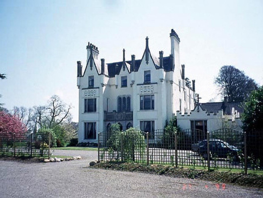 Ballykealey Housecountry house · 1476 yd
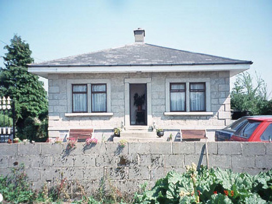 Kilknock Housegate lodge · 1501 yd
 Church (in ruins), GraveyardChurch · 1.5 mi
 Ballynunnery Castle in ruinsCastle, unclassified · 1.9 mi
 Castlegrace MoatCastle, motte · 2.0 mi
 Kilmurry Church (in ruins), GraveyardChurch · 2.0 mi
 Scots PineScots Pine · 3.4 mi
 Altamont Gardens MapVisitor information · 3.4 mi
 Altamont House and GardensHeritage attraction · 3.5 mi
 English hollyEnglish holly · 4.1 mi
Other information
Photo: Credit not shown in the picture search · Rights wording not checked; contact us if this picture should be removed