What is recorded here
Situated at the base of a W-facing slope with a stream immediately to the S, a holy well (TN031-010002-) to the SE and a bullaun stone (TN031-009----) to the NE. Present remains consist of a low rise of ground where the church (TN031-010001-) was located in the centre of a graveyard enclosed by a stone wall. Several architectural fragments are located in the SW sector of the graveyard and others are reused as grave surrounds. Berry (1904, 99-110) described the church as surviving to foundation level only measuring internally 60ft x 26ft (18m x 8.7m) with architectural fragments of a late medieval date scattered around the graveyard. An octagonal-shaped limestone stoup or font (TN031-010004-/TN037-046----) which rested on a four-clustered column is now located in the grounds of Newport RC church.
Compiled by: Caimin O'Brien.
Date of upload: 22 September 2008
The monument record does not grant public access. Check the route and ask the landowner before entering private land.
- What survives
- Recorded monument
Places near here
 Font in BallyardFont · 4 yd
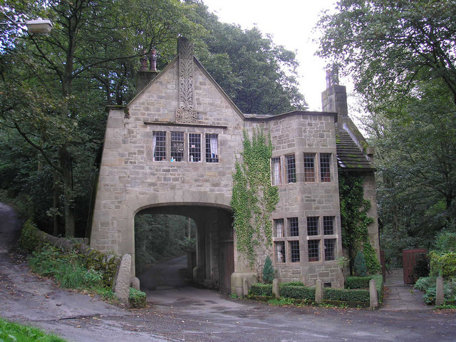 CastleCastle, tower house · 774 yd
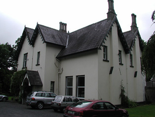 Cragg Househouse · 1089 yd
 Enclosure in Mackney (bourke)Enclosure · 1365 yd
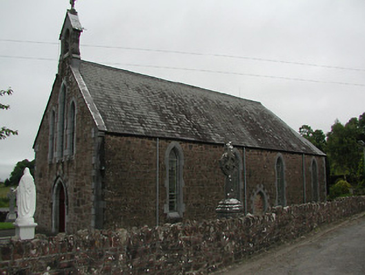 Catholic Church of Our Lady of the Waysidechurch/chapel · 1.5 mi
 The Pollagh TrailNature reserve · 2.3 mi
 Cast Iron BridgeHeritage attraction · 2.9 mi
 Site of Derryleigh CastleCastle, unclassified · 3.1 mi
 The CapstanHeritage attraction · 3.3 mi
 Brian Boru Heritage CentreVisitor information · 4.5 mi
 Doonan's HillMountain / peak · 4.6 mi
 Kilroughil Graveyard (Site of)Archaeological place · 4.9 mi