
What is recorded here
Situated at the base of a W-facing slope with a stream immediately to the S, a holy well (TN031-010002-) to the SE and a bullaun stone (TN031-009----) to the NE. Present remains consist of a low rise of ground where the church (TN031-010001-) was located in the centre of a graveyard enclosed by a stone wall. Several…
Read the whole record
From the National Monuments Service (Archaeological Survey of Ireland) record TN031-010003
Places near here
Photo credits
- National Inventory of Architectural Heritage
- Garry Dickinson, Geograph · CC BY-SA 2.0
- SirGarick, Wikimedia Commons · CC BY-SA 4.0
- Andreas F. Borchert, Wikimedia Commons · CC BY-SA 4.0
- P L Chadwick, Geograph · CC BY-SA 2.0
- Oliver Dixon, Geograph · Creative Commons Attribution-ShareAlike 2.0
- Antony Dixon, Wikimedia Commons · CC BY-SA 2.0
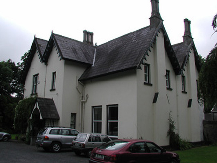 Cragg HouseHouse · 1089 yd
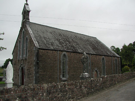 Catholic Church of Our Lady of the WaysideChurch/chapel · 1.5 miThe Pollagh TrailNature reserve · 2.3 miCast Iron BridgeHeritage attraction · 2.9 mi
Explorer Tom Cast Iron Bridge is a marvel of engineering, a testament to the industrial past that shaped County Clare's legacy.
The CapstanHeritage attraction · 3.3 miExplorer Tom The Capstan is a nautical treasure in County Clare, where history and maritime heritage converge in a coastal wonder.
 Castle Connell (in ruins)Castle, Anglo-Norman masonry castle · 4.1 mi
Explorer Tom Castle Connell in Coolbane started because two lads made a bet in a pub about who could build bigger. King John agreed to pay for it, which is how most bad decisions happen. Go in good boots and better humour, trust me.
 Castle ConnellRuins · 4.1 mi
 Cath.Cathedral · 4.4 mi
Explorer Tom Cathedral in Shantraud is hiding its light under a very large bushel of mystery. The locals probably think the roof leaks because they forgot to pay the celestial plumber. It’s a proper spot for a flask of tea and a big, confused think about history.
 Brian Boru Heritage CentreVisitor information · 4.5 mi
Explorer Tom Brian Boru Heritage Centre is a treasure trove of history and culture in County Clare
Doonan's HillMountain / peak · 4.6 mi TobermurraghHoly well · 4.7 mi
Explorer Tom Tobermurragh claims Brian Boru’s son got baptized here, which is a big claim for a well. Get there early and have it all to yourself before the tourists show up.
 Slieve FelimMountain / peak · 6.8 mi
More archaeology and monuments in County Tipperary · All of County Tipperary

What do you know about this place?Tap to add a comment or ask a question