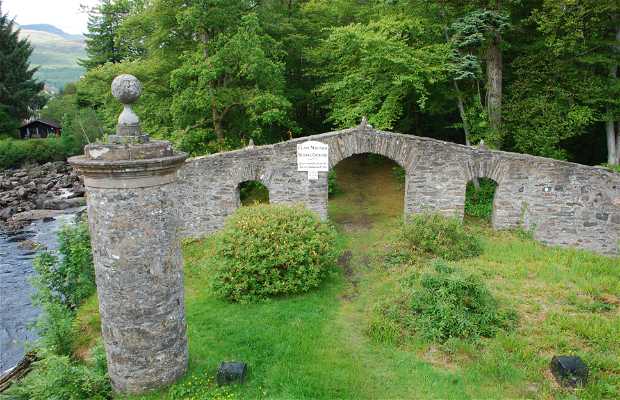
What is recorded here
In wet pasture 40m W of the River Maigue and 250m NE of a road (LI031-082----). Annotated ‘Burial Ground’ on 1840 ed. OSi 6-inch map where it is depicted as a raised roughly circular-shaped area (diam. c. 28m) in W corner of small field with ‘Connor’s Well’ 50m to S. Not depicted on the 1897 ed. OSi 25-inch map indicating that the burial ground was levelled between these map dates. Described in 1904-05 as ‘a burial ground’ (Westropp 1904-05, 412). No surface remains visible on OSi orthophoto taken between 2005-2012 or on any Google Earth orthoimages.
Compiled by: Martin Fitzpatrick
Date of upload: 16 March 2021
Neolithic passage tomb; dates to the 4th–3rd millennium BCE. Its significance lies in its association with early ceremonial and burial practices in the region, reflecting the spiritual and social organization of Neolithic communities.
The monument record does not grant public access. Check the route and ask the landowner before entering private land.
- What survives
- Recorded monument
Places near here
 Watercourse in BallinfreeraWatercourse · 281 yd
 bridgebridge · 719 yd
 Banoge WellHoly well · 807 yd
 The Old School Houseschool · 1635 yd
 Castle IeversCastle, unclassified · 1.5 mi
 Bawn in TullovinBawn · 1.7 mi
 European ashEuropean ash · 2.6 mi
 Monasteranenagh AbbeyHeritage attraction · 3.1 mi
 Biodiversity in the Maigue CatchmentVisitor information · 3.3 mi
 Dysert AenghusaHeritage attraction · 3.9 mi
 Kinnoor WellSpring · 4.4 mi
 KnockfeerinaMountain / peak · 4.9 mi
Other information
Photo: Credit not shown in the picture search · Rights wording not checked; contact us if this picture should be removed