What is recorded here
On the summit of Tulach na Reilige overlooking Loch Úraid to NE. Indicated on 1st ed. of OS 6-inch map, it survives as a very small, slightly raised, rectangular area (L 13m, Wth 9m) which is, in turn, enclosed by an oval setting of stones. A number of irregular grave-markers are visible in the interior. Used as a CBG until c. 1900 (pers. comm. T. Robinson).
The above description is derived from the published 'Archaeological Inventory of County Galway Vol. I - West Galway'. Compiled by Paul Gosling (Dublin: Stationery Office, 1993).
Date of upload: 05 August 2010
Neolithic burial ground, likely dating to the 4th–3rd millennium BCE. Its location on a prominent hill summit suggests ritual or ceremonial significance, possibly linked to early religious practices in the region.
The monument record does not grant public access. Check the route and ask the landowner before entering private land.
- What survives
- Recorded monument
Places near here
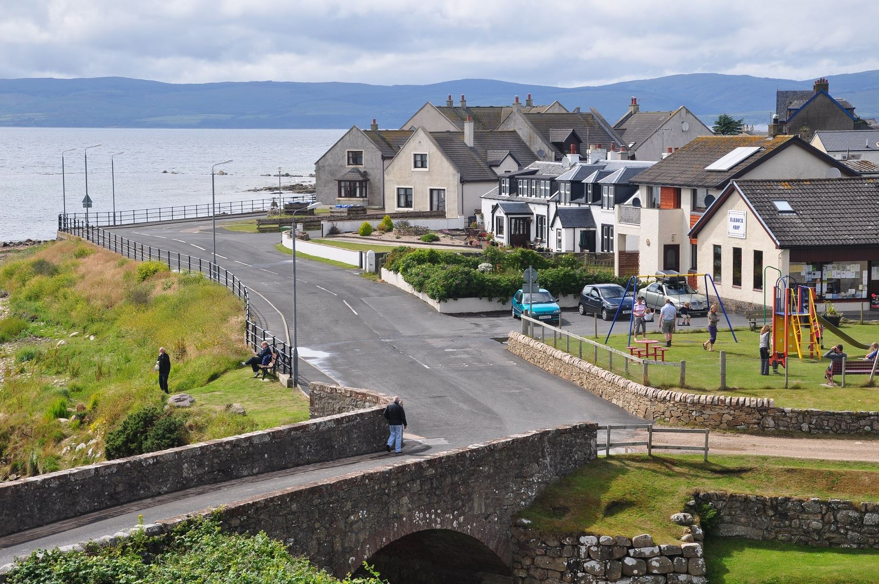 Drehidanookera Br.Bridge · 1634 yd
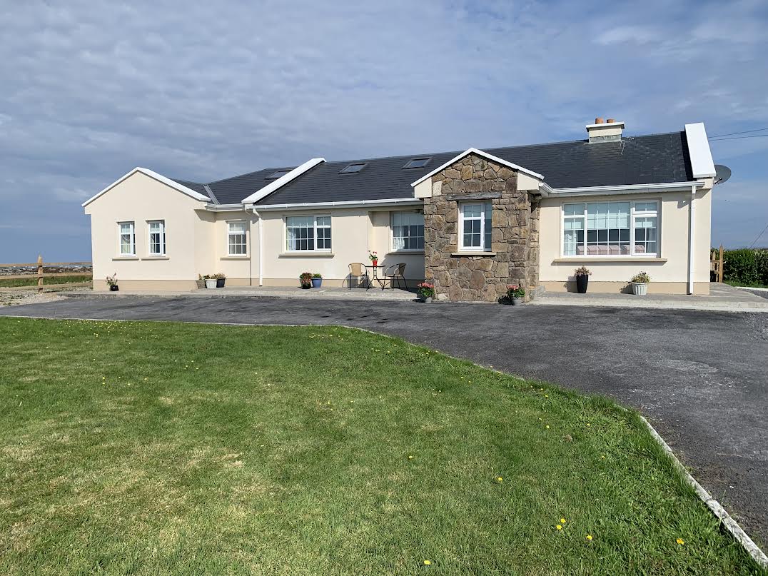 Seanadh BhéaraMountain / peak · 1.3 mi
 Penitential station in Tír An Fhia,doire Bhéal An MhámaPenitential station · 2.2 mi
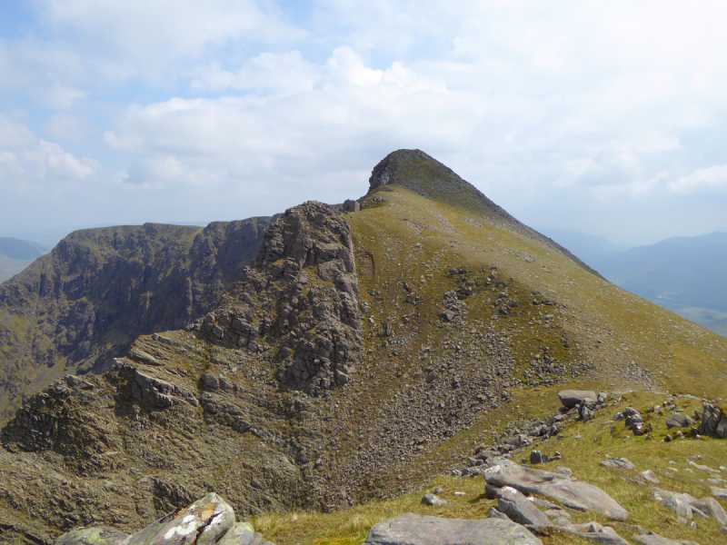 Binn Mhor East TopMountain / peak · 2.3 mi
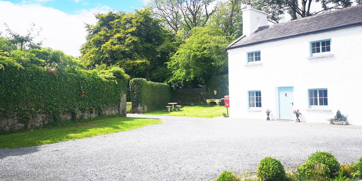 Enclosure in Doire Bhéal An MhámaEnclosure · 3.1 mi
 St. Patricks Holy WellHoly well · 3.3 mi
 Screebe WaterfallWaterfall · 3.6 mi
 Teach an PhiarsaighHeritage attraction · 4.4 mi
 Cora an GhréasaíHeadland · 5.1 mi
 CastlekirkCastle · 5.2 mi
 Oileán Ros an LochaIsland · 5.2 mi
 An tOileán BánIslet · 5.2 mi