
What is recorded here
Bridge in Ardderrynagleragh has had iron braces fitted to help it carry heavier traffic. Nearly two centuries holding its stomach in, and then along comes a car the size of a parish hall. ‘Right. Fetch the big belt.’
Single-arch road bridge, built c.1830, spanning channel between arms of Ardderry Lough. Round arch with coursed rubble stone walls having iron bracing plates, tooled limestone voussoirs and gunnelled soffit. Rubble stone parapet to east elevation, with concrete coping. Recently rebuilt battered rubble stone abutments, with recent rubble stone parapet wall and coping to west elevation.
This bridge carries the approach road to Maam Cross from the south, thus integrating the road network in Connemara. The bridge is in good condition and bracing plates have been added to reinforce the bridge with the increased traffic.
From the Buildings of Ireland (National Inventory of Architectural Heritage) record 30403903
This does not grant access. Most recorded buildings are privately owned; view them only from public ground unless the owner allows entry.
Places near here
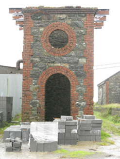 Maam Cross Railway StationRailway station · 460 yd
 LackavreaMountain / peak · 2.2 mi
 CorcogemoreMountain / peak · 2.4 mi
 Screebe WaterfallWaterfall · 2.5 mi
 CastlekirkCastle · 2.9 mi
 bridge3.0 mi
 Teach an PhiarsaighHeritage attraction · 5.7 mi
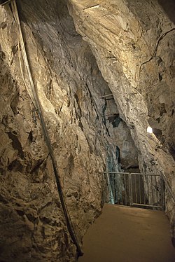 Glengowla MinesHeritage attraction · 7.3 mi
 Earls IslandIslet · 7.3 mi
 IslandmoreIslet · 7.6 mi
 Owenriff WayWalking route · 9.3 mi
 Hawthorn13 mi
Pictures: National Inventory of Architectural Heritage; Dr Wotsit, Wikimedia Commons · CC BY-SA 3.0; Marathon, Geograph · CC BY-SA 2.0; Nmwood189, Wikimedia Commons · CC BY-SA 4.0; Digital Eye, Wikimedia Commons · CC BY-SA 4.0; andrew mcmillan, Wikimedia Commons · CC BY 3.0; Oliver Dixon, Geograph · CC BY-SA 2.0; Maigheach-gheal, Geograph · CC BY-SA 2.0; Didier Descouens, Wikimedia Commons · CC BY-SA 4.0
More historic places in County Galway · All of County Galway
What do you know about this place?