What is recorded here
Triangular shaped enclosed area marked 'Burial Gd' on the 1938 'OS 6-inch' map (map dims. 125m x 105m x 103m) with 'Calvery Cemetery' adjoining it to the E. Referred to as 'the pauper's graveyard' in the 1930's (IFC Schools' Mss 679, 338).
Compiled by: Claire Breen
Date of upload: 28 August 2012
The monument record does not grant public access. Check the route and ask the landowner before entering private land.
- What survives
- Recorded monument
Places near here
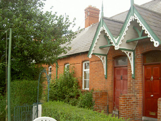 worker's houseworker's house · 226 yd
 St. Patricks WellHoly well · 248 yd
 Sunnyside Houseoutbuilding · 255 yd
 Millmount MuseumMuseum · 619 yd
 Siege of Droghedasiege · 856 yd
 Old Drogheda GaolArchaeological place · 931 yd
 The ThoselMemorial · 957 yd
 St. Peter's ChurchMemorial · 1056 yd
 Site of Old CastleCastle, unclassified · 2.0 mi
 Platin HouseCastle, unclassified · 2.5 mi
 Yellow IslandIslet · 2.5 mi
 Grove IslandIslet · 2.9 mi