What is recorded here
In pasture on S-facing slope. Irregular area enclosed by stone-faced earthen bank. Modern gate on S side. Many grave-markers noted. Man-made underground passage (CO126-021---) within burial ground.
The above description is derived from the published 'Archaeological Inventory of County Cork. Volume 1: West Cork' (Dublin: Stationery Office, 1992). In certain instances the entries have been revised and updated in the light of recent research.
Date of upload/revision: 14 January 2009
A Neolithic passage tomb; dates to the 4th–3rd millennium BCE. It is significant as part of a broader network of megalithic tombs in the region, reflecting early ceremonial and burial practices.
The monument record does not grant public access. Check the route and ask the landowner before entering private land.
- What survives
- Recorded monument
Places near here
 Ritual siteRitual site, holy/saint's stone · 292 yd
 Stone rowArchaeological place · 641 yd
 Garnish StrandBeach / strand · 852 yd
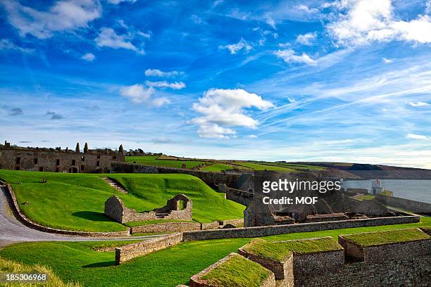 TranaduileasgBeach / strand · 880 yd
 Signal Station FlagstaffRuins · 965 yd
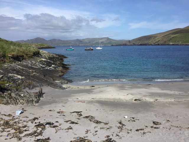 White StrandBeach / strand · 1022 yd
 Dursey Cable CarHeritage attraction · 1237 yd
 Little IslandIslet · 1425 yd
 Long IslandIslet · 1451 yd
 Chapel (in Ruins)Church · 1566 yd
 Fort (in Ruins)Castle, unclassified · 1708 yd
 LackacroghanMountain / peak · 1.6 mi
Other information
Photo: Credit not shown in the picture search · Rights wording not checked; contact us if this picture should be removed