What is recorded here
Situated in low-lying, wet pasture, to the immediate E of an avenue running NW-SE. Not depicted on OS mapping. A holy well (WM030-025001-) lies c. 55m to E. According to English (1968), a single hole bullaun stone known as St Patrick’s knee is situated on the right-hand-side of an old avenue and to W of a holy well named after St Patrick. Monument described in 1979 as a single bullaun depression (diam. 0.3m) situated approximately in the centre of a roughly triangular-shaped limestone boulder. The depression is roughly circular in plan and is defined by artificially smoothed sides which narrowing toward the base which is filled with water. Monument is potentially visible as a boulder on the right side of an old avenue on Digital Globe aerial photography.
Compiled by Alison McQueen, Vera Rahilly and Caimin O’Brien.
Date of upload: 08 November 2019
Likely dating to the early Christian period, bullaun stones were often used for ritual purposes, such as anointing or blessing, and are associated with holy wells and local saints. This stone may have had a spiritual or healing function linked to the nearby holy well.
The monument record does not grant public access. Check the route and ask the landowner before entering private land.
- What survives
- Recorded monument
Places near here
 Enclosure in MoyvoughlyEnclosure · 170 yd
 CastleCastle, unclassified · 270 yd
 OutlinedEnclosure · 296 yd
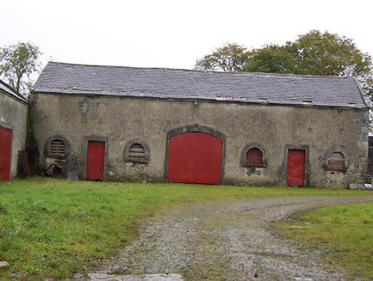 Moyvoughly Housestables · 867 yd
 gates/railings/wallsgates/railings/walls · 1.3 mi
 Site of Lissanode CastleCastle, unclassified · 1.8 mi
 Japanese pagoda treeJapanese pagoda tree · 2.5 mi
 Dún na Sí Heritage CentreMuseum · 3.2 mi
 Dún na SíMuseum · 3.3 mi
 Charles BianconiMemorial · 3.4 mi
 Moate HillMountain / peak · 3.5 mi
 Kilmalady HillMountain / peak · 6.6 mi