What is recorded here
Situated at the bottom of a S and E-facing slope and c. 10m N of a SW-NE stream close to a point where the stream turns NW. A bullaun stone, which was described in the 1940s (SMR file) as a rough boulder with a basin ’15 inches by 12 inches by 6 inches deep (c. 0.4m x c. 0.3m; D 0.15m)’ had a cure for warts but it is now thought to be in the floor of St Patrick’s holy well (MO021-012001-).
Revised by: Michael Moore
Date of revised upload: 21 June 2018
The monument record does not grant public access. Check the route and ask the landowner before entering private land.
- What survives
- Recorded monument
Places near here
 Holy WellHoly well · 2 yd
 IndicatedEcclesiastical enclosure · 172 yd
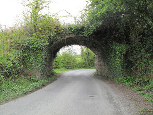 bridgebridge · 894 yd
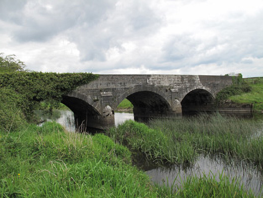 Annaghmullin Bridgebridge · 992 yd
 SandhillsMountain / peak · 1721 yd
 European YewEuropean Yew · 1.0 mi
 RuinsHouse, fortified house · 1.0 mi
 SycamoreSycamore · 1.0 mi
 ClonandraMountain / peak · 1.2 mi
 Bawn in KillyfanaBawn · 2.2 mi
 Garden IsleIslet · 4.2 mi
 Annagh Lough BeachBeach / strand · 5.0 mi