What is recorded here
Located at what was a N-facing slope overlooking the valley of the River Liffey before it was flooded and turned into the Pollaphuca reservoir. The reduced water level has revealed archaeological features on the newly exposed ground.
The granite stone is D-shaped in plan with two straight edges (L 42cm and 23cm), although it has a maximum ‘width’ of 40cm, almost as great as its long side. The height varies from 14cm to 22 cm and it has probably been shaped into its present form, which would just about contain one basin when completed. The underside is generally rounded but it has a skelp removed which was probably accidental and accounts for the different height of the stone at different sides. The upper surface has a single basin (diam. 19cm x 20cm; max. D 4cm). The peck marks used to excavate the basin can be seen clearly, so the bullaun stone was never finished and used as otherwise the surface of the basin would have been ground smooth.
Compiled by: Caimin O'Brien based on details provided by Michael Moore
Date of upload: 4 October 2018
Likely dating to the Early Christian period, the Bullaun stone may have been used for ritual purposes, such as the preparation of holy water. Its location suggests it was part of a wider landscape of spiritual or ceremonial significance.
The monument record does not grant public access. Check the route and ask the landowner before entering private land.
- What survives
- Recorded monument
Places near here
 Scurlocks Grave Yd. (Disused)Ecclesiastical enclosure · 923 yd
 Enclosure in CrosscoolharbourEnclosure · 1062 yd
 CastleCastle, tower house · 1358 yd
 Site of CastleCastle, unclassified · 1680 yd
 Blessington Bridgebridge · 1700 yd
 OldcourtMemorial · 1.1 mi
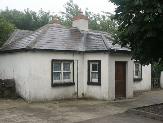 The Toll Housetoll house · 1.4 mi
 Dame Ninette de ValoisMemorial · 1.5 mi
 Blessington DemesneWood · 1.9 mi
 Lacken – Mass Path LoopWalking route · 2.0 mi
 Deer Park PlantationForest · 2.3 mi
 Sorrel HillMountain / peak · 2.8 mi