What is recorded here
In a wooded area, on a relatively steep SE facing slope. A large earthfast granite boulder, extending out from the slope at the NW. The boulder measures 3.1m WNW -ESE, 2.5m NNE-SSW, and 90cm high. At the WNW, on the highest part of the stone, is a bowl-shaped bullaun 24x23cm across, and 12cm deep.
Date of upload: 01 October 2012
The monument record does not grant public access. Check the route and ask the landowner before entering private land.
- What survives
- Recorded monument
Places near here
 Church (in Ruins)Church · 704 yd
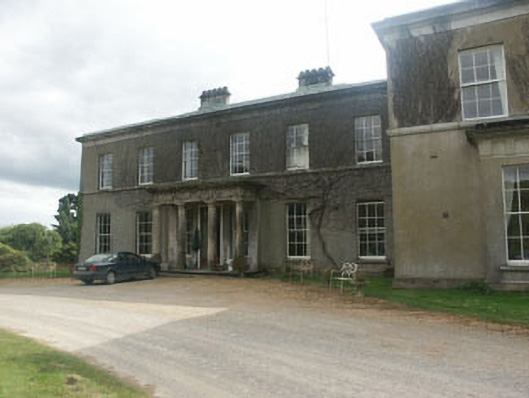 Ballycurry Housecountry house · 1557 yd
 Trinity WellHoly well · 1632 yd
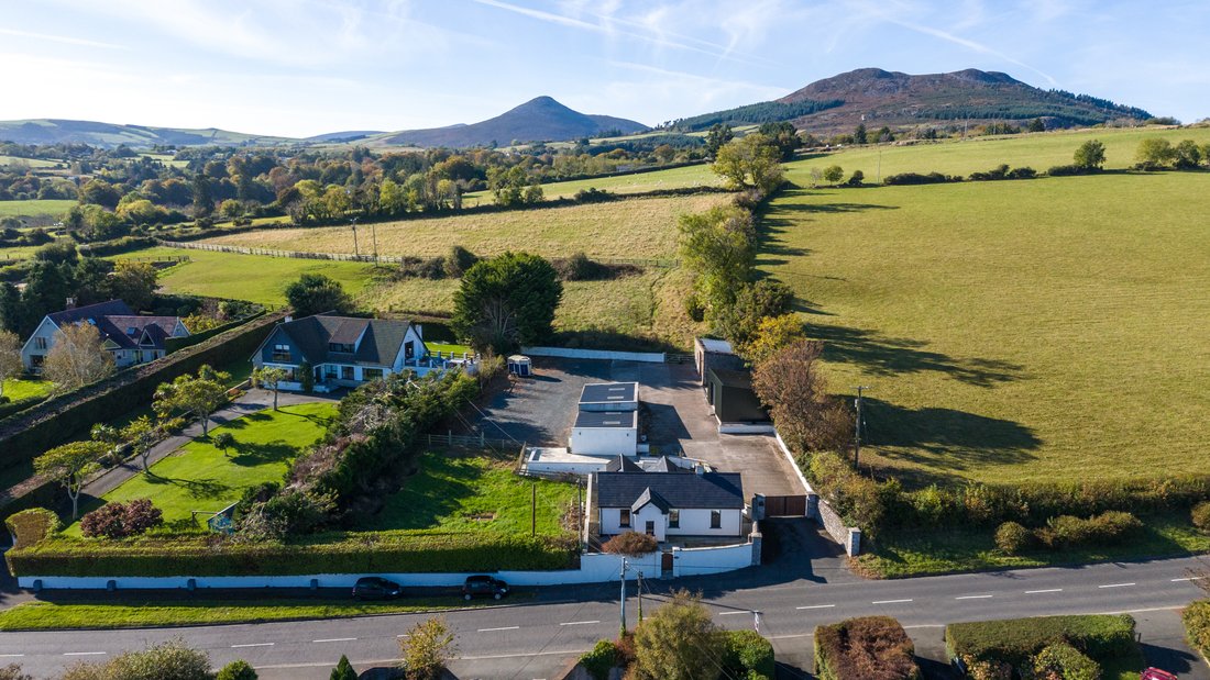 Enclosure in CourtfoyleEnclosure · 1.0 mi
 Devil's Glen WoodForest · 1.5 mi
 Devil's Glen WaterfallWaterfall · 1.9 mi
 CastleCastle, ringwork · 2.1 mi
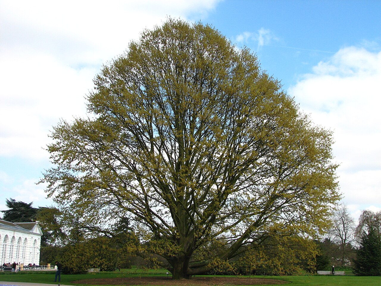 Chestnut-leaved OakChestnut-leaved Oak · 2.1 mi
 Castle (in Ruins)Castle, ringwork · 3.3 mi
 Carrick MountainMountain / peak · 4.1 mi
 BallinacorbegMountain / peak · 4.6 mi
 Leamore StrandBeach / strand · 4.8 mi