What is recorded here
A bullaun stone is recorded by Power (1952, 135) and is known locally. It was formerly located on wet ground beside a stream. The land has since been reclaimed and the bullaun stone is now lost.
The above description is derived from the published 'Archaeological Inventory of County Waterford' (Dublin: Stationery Office, 1999). In certain instances the entries have been revised and updated in the light of recent research.
Compiled by: Michael Moore
Date of upload/revision: 14th December 2010.
The monument record does not grant public access. Check the route and ask the landowner before entering private land.
- What survives
- Recorded monument
Places near here
 Embanked enclosureFairy fort / earthen ringfort · 401 yd
 Castle (in ruins)Castle, unclassified · 786 yd
 Holy WellHoly well · 1450 yd
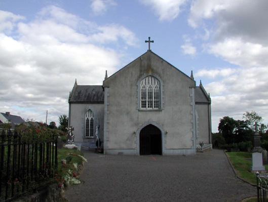 Saint Anne's Catholic ChurchOfficially recorded historic building · 1585 yd
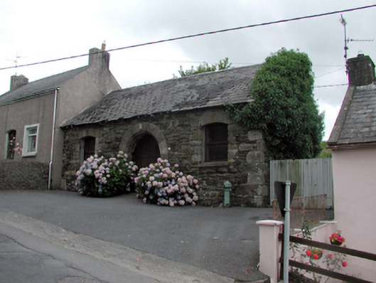 Historic buildingOfficially recorded historic building · 1.1 mi
 8 Arch GalleryGallery · 1.2 mi
 Site of Cas.Castle, unclassified · 1.2 mi
 Crough WoodWood · 2.6 mi
 Croughaun HillMountain / peak · 2.9 mi
 Kilclooney WoodForest · 3.0 mi
 Magic Road (finish)Heritage attraction · 3.3 mi
 Mahon ValleyCliff · 4.3 mi