
What is recorded here
Breakwater, built 1819-24, running southeast from Clontarf. Cut granite walls to northwest part, battered to base and splayed to join promenade walls at Clontarf end. Timber bridge over channel, with timber carriageway, supports and parapets, and having cut granite steps to northeast and southwest elevations of wall beyond bridge. Stepped chamfered granite batter to walls adjoining wooden bridge. Uncoursed granite and limestone walls to centre portion, battered to base, with steel railings. Limestone and granite boulders forming wall to southeast portion. Tarmac promenade to top with later bathing shelters, having concrete steps to shore to northeast and southwest elevations. Cut granite slabs and stone setts visible to surface of promenade to either end of bridge. Elevated Marian statue on concrete piers and tiled plinth to end of promenade, dated 1972. Lower half-tide wall, comprising limestone and granite boulders, continuing beyond promenade, terminating at lighthouse.
The Bull Wall was constructed in the early decades of the nineteenth century as part of a scheme to deepen the harbour at Dublin Bay, which became congested with sand and silt carried by the Liffey and the Dodder rivers. The resultant sandbanks posed severe problems for navigation and maritime trade. The South Bull Wall was completed in the mid-eighteenth century, and proposals for a northern equivalent, stretching from Clontarf, were first put forward in 1801, by Captain William Bligh, who had undertaken a detailed navigational survey of the bay. George Halpin, the City Engineer, approved plans by the Ballast Board to build the wall at an angle to its southern counterpart in order to avoid damage from the easterly swell. The battered stone walls of the pier are characteristic of marine engineering. It is an early and highly successful feat of civil engineering, which made a significant contribution to the development of Dublin as a centre of trade and Ireland as a producer. The wall resulted in a build-up of silt and sand to the northeast, resulting in the unintended creation of Bull Island, a nature reserve and recreational amenity. The setting is enhanced by the concrete bathing shelters, added in the twentieth century, and by a series of carved granite distance markers along the promenade, which highlight the value of the wall for recreation.
From the Buildings of Ireland (National Inventory of Architectural Heritage) record 50030056
This does not grant access. Most recorded buildings are privately owned; view them only from public ground unless the owner allows entry.
Places near here
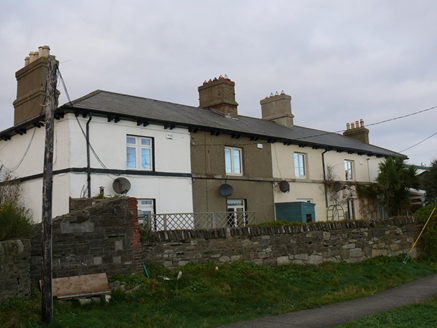 coastguard station100 yd
 milestone/milepost432 yd
 Wych Elm569 ydIndicatedMound · 987 yd
 Battle of ClontarfMajor battlefield · 1.0 mi
 St. Anns WellHoly well · 1.0 mi
 Holm Oak1.1 mi
 Clontarf Castle HotelVisitor information · 1.3 mi
 Clontarf CastleCastle, Anglo-Norman masonry castle · 1.4 mi
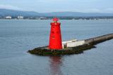 Poolbeg LighthouseLighthouse · 1.5 mi
 Dollymount StrandBeach / strand · 1.6 mi
 Sandymount StrandBeach / strand · 2.2 mi
Pictures: National Inventory of Architectural Heritage; Ronnie Nijboer, Wikimedia Commons · CC0; Hugh Frazer, Wikimedia Commons · Public domain; UtDicitur, Wikimedia Commons · CC BY-SA 3.0; Lucarelli, Wikimedia Commons · CC BY-SA 3.0; Phillip Perry, Geograph · CC BY-SA 2.0; JP, Geograph · CC BY-SA 2.0; Ian Mantel, Wikimedia Commons · CC BY-SA 4.0; Susan Pike, Geograph · CC BY-SA 2.0; Doug Lee, Geograph · CC BY-SA 2.0
More historic places in County Dublin · All of County Dublin
What do you know about this place?