What is recorded here
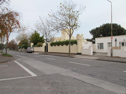
There is no visible trace of the mound shown on the earlier OS maps at this location. Any trace of this mound that may have survived would have been removed in the course of the construction of the present buildings which now occupy the site.
From the National Monuments Service (Archaeological Survey of Ireland) record DU019-016
This remains an important historical record, but the official description says the monument is no longer visible or has been destroyed. The monument record does not grant public access. Check the route and ask the landowner before entering private land.
- What survives
- No visible remains or recorded as destroyed
Places near here
Photo credits
- JP, Geograph · Creative Commons Attribution-ShareAlike 2.0
- National Inventory of Architectural Heritage
- Ronnie Nijboer, Wikimedia Commons · CC0
- Hugh Frazer, Wikimedia Commons · Public domain
- UtDicitur, Wikimedia Commons · CC BY-SA 3.0
- Lucarelli, Wikimedia Commons · CC BY-SA 3.0
- Phillip Perry, Geograph · CC BY-SA 2.0
- JP, Geograph · CC BY-SA 2.0
- Anonymous Unknown author, Wikimedia Commons · Public domain
- Ian Mantel, Wikimedia Commons · CC BY-SA 4.0
- Eric Jones, Geograph · CC BY-SA 2.0
- sarah gallagher, Wikimedia Commons · CC BY-SA 2.0
 St Gabriel's ChurchChurch/chapel · 82 yd
 gates/railings/walls385 yd
 Wych Elm425 yd
 Battle of ClontarfMajor battlefield · 1060 yd
 St. Anns WellHoly well · 1383 yd
 Holm Oak1419 yd
 Clontarf Castle HotelVisitor information · 1673 yd
 Clontarf CastleCastle, Anglo-Norman masonry castle · 1750 yd
 Casino at MarinoHeritage attraction · 1.9 mi
 Poolbeg LighthouseLighthouse · 2.0 mi
 Grand Canal DocksVisitor information · 2.4 mi
 Killing of David ByrneMurder · 2.7 mi
More archaeology and monuments in County Dublin · All of County Dublin
What do you know about this place?