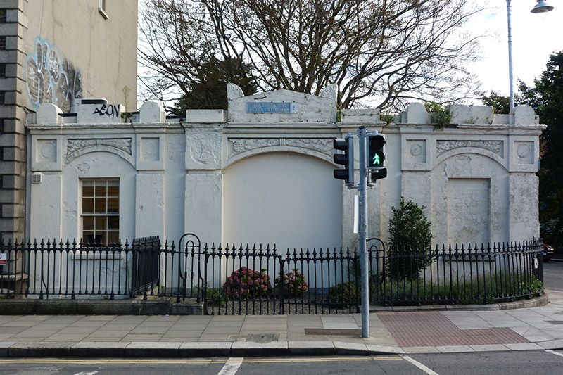
What is recorded here
Corner-sited three-bay single-storey former carriage-archway, built c. 1830, with single-storey flat-roofed twentieth-century block to rear. Segmental-headed archway to centre, now infilled and in use as offices, with foliate ornament to spandrels and flanked by pilasters, in turn flanked by narrower segmental-headed…
Read the whole record
From the Buildings of Ireland (National Inventory of Architectural Heritage) record 50100136
Places near here
Photo credits
- National Inventory of Architectural Heritage
- Angilbas at English Wikipedia, Wikimedia Commons · Public domain
- Superchilum, Wikimedia Commons · CC BY-SA 4.0
- Weston St. John Joyce, Wikimedia Commons · Public domain
- Agence Rol, Wikimedia Commons · Public domain
 Young Women's Christian AssociationHouse · 138 yd
Explorer Tom Young Women's Christian Association on Baggot Street Lower has a name that really means ‘We Like Our Windows To Be…
 The Old BarracksRic barracks · 256 yd
Explorer Tom The Old Barracks at Hagan's Court used to be a police station before the Gardas took over, and it still looks like it’s…
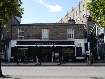 stables323 yd
Explorer Tom Stables on Baggot Street Lower in County Dublin are sitting right on the street, which is weird for a mews. They’ve got…
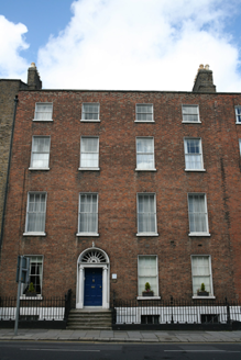 United Arts ClubHouse · 383 yd
Explorer Tom United Arts Club in County Dublin is a four-bay townhouse that used to be a residence. Built c.1800, it’s now a…
 post box451 yd
Explorer Tom Post box on Fitzwilliam Street Lower is a cast-iron pillar box from about 1885 with a shallow domed cap and letter…
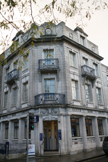 Ulster BankBank/financial institution · 542 yd
Explorer Tom Ulster Bank on Baggot Street has a hidden message in its stones if you read the classical details correctly, or at…
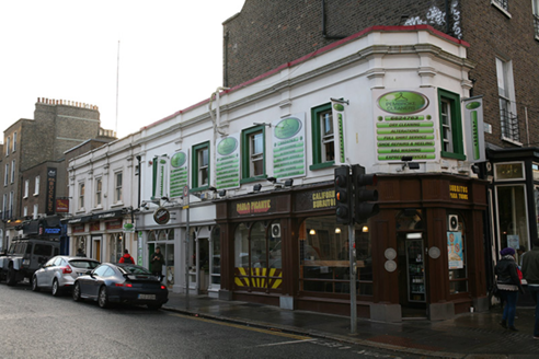 shop/retail outlet564 yd
Explorer Tom A shop on Lower Baggot Street has a flat roof and some plastic downpipes that are breaking through the parapet, which…
 waterworks633 yd
Explorer Tom Waterworks kiosk on Adelaide Road is a Modernist gem from 1929 that thinks it’s grander than a small café. It has…
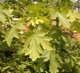 Bigleaf Maple1350 yd
Explorer Tom Bigleaf Maple in County Dublin is waiting for a bishop who refused to visit because he thought it looked too much like…
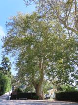 Oriental plane1381 yd
Explorer Tom Oriental plane in Dublin once smuggled a whole crate of cabbages up through its hollow trunk during the famine, or so…
 Battle of RathminesMajor battlefield · 1393 yd
Explorer Tom Battle of Rathmines in County Dublin is where the Royalists tried to attack Dublin but got a bit stuck on the hills.…
 Burning of the Custom HouseArmed conflict · 1.0 mi
Explorer Tom The Burning of the Custom House holds a fake world record for the most dramatic way to lose your paperwork. It still…
More historic places in County Dublin · All of County Dublin

What do you know about this place?Tap to add a comment or ask a question