What is recorded here
Small gabled building indicated within the townland on early 17th centurymap of the area (Loeber 1988 vol. 3, 36).
The above description is derived from the published 'Archaeological Inventory of County Offaly' (Dublin: Stationery Office, 1997). In certain instances the entries have been revised and updated in the light of recent research.
Date of upload: 23 May 2011
The monument record does not grant public access. Check the route and ask the landowner before entering private land.
- What survives
- Recorded monument
Places near here
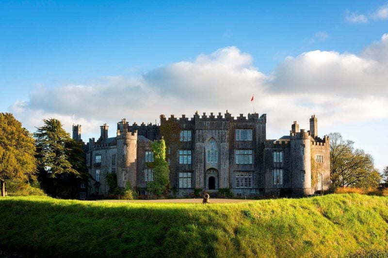 CastleCastle, unclassified · 1 yd
 Enclosure in CurraghmeelaghEnclosure · 569 yd
 Mountpleasant Ho. in ruinsHouse, fortified house · 634 yd
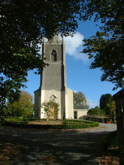 Saint Evehy's Church (Killoughy)church/chapel · 969 yd
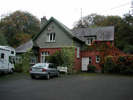 The Rectoryrectory/glebe/vicarage/curate's house · 1148 yd
 Burial ground in HollimshillBurial ground · 1302 yd
 Graveyard in PallasGraveyard · 1533 yd
 Lowerton HillMountain / peak · 1.6 mi
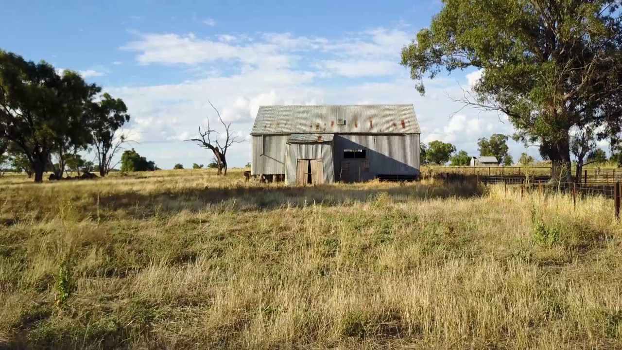 Ross WoodWood · 2.4 mi
 Mahon's WoodWood · 2.6 mi
 Mullagh HillMountain / peak · 3.0 mi
 Ardnagross WellSpring · 3.0 mi