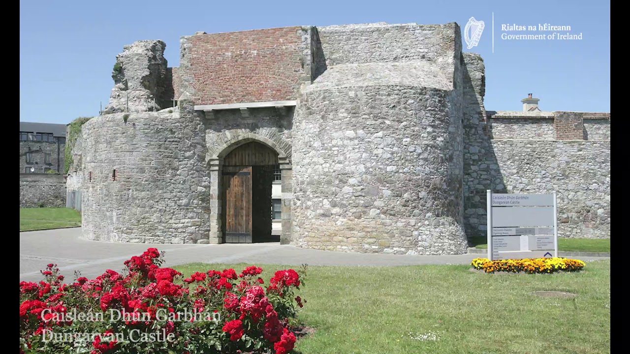
What is recorded here
Archaeological testing (98E0591) identified the foundations of a large 18th century building (ext. dims. c. 15m E-W; c. 7.5m N-S), the S wall of which at its E end overlay the S wall of an earlier building (L c. 4.5m) on a slightly different axis. Seventeenth century pottery was associated with the earlier wall, and there was a N-S stone-revetted field bank or property boundary (Wth c. 1m) just 3m to its W, with a ditch (Wth c. 2m; D c. 0.5m) on its W side, which the 18th century building overlay. (Pollock 1999a, 9-10; 2000c)
Pollock, D. (1999a) Archaeological investigations at Church Street/Parnell Street, Dungarvan, Co. Waterford (Licence 98E0591). Unpublished report, Author.
Pollock, D. (2000c) Church Street/Parnell Street, Dungarvan: Urban medieval/post-medieval. In I. Bennett (ed.) Excavations 1999. summary account of excavations in Ireland, 293, No. 845. Wordwell. Bray.
Compiled by: Michael Moore. Date of upload: 25th August, 2011.
The monument record does not grant public access. Check the route and ask the landowner before entering private land.
- What survives
- Recorded monument
Places near here
 Robert A. Merry and Companyhouse · 27 yd
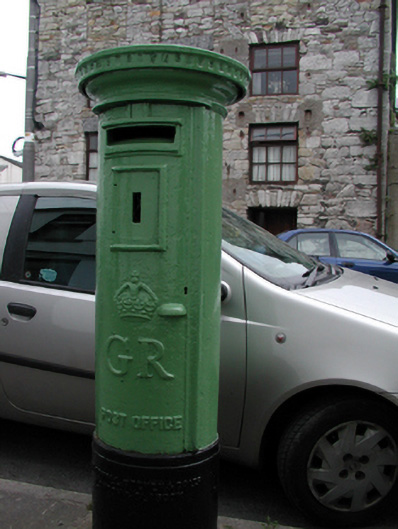 Historic buildingOfficially recorded historic building · 29 yd
 Dungarvan World War I MemorialMemorial · 81 yd
 Structure in DungarvanStructure · 116 yd
 Dungarvan Castle (in Ruins)Castle, Anglo-Norman masonry castle · 127 yd
 Dungarvan CastleCastle · 128 yd
 Waterford County MuseumMuseum · 129 yd
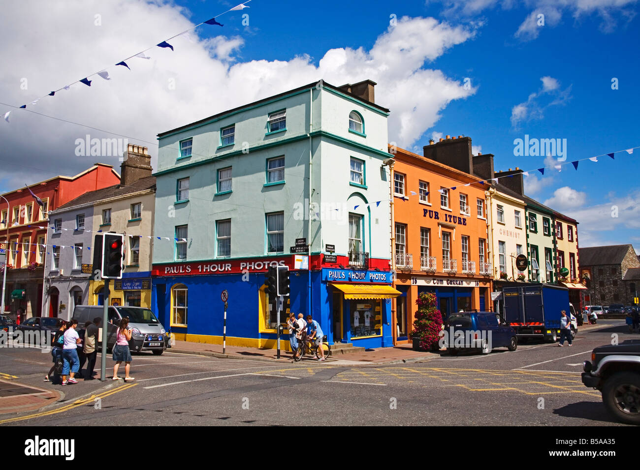 Town defences in DungarvanTown defences · 170 yd
 Grattan SquareVisitor information · 283 yd
 Castle (in ruins)Castle, tower house · 541 yd
 Cunnigar PointHeadland · 663 yd
 Horse-chestnutHorse-chestnut · 2.1 mi
Other information
Photo: Credit not shown in the picture search · Rights wording not checked; contact us if this picture should be removed