What is recorded here
Situated on a gentle S-facing slope, in pasture. Depicted as a ‘Ruin’ on Larkin’s 1808 map of County Westmeath (NLI, MS 46,580). Not depicted on the 1837 ed. OS 6-inch map or the revised 1913 ed. OS 25-inch map.
Monument described in 1983 as several rectangular structures defined by a series of sod-covered wall footings are visible in area marked on OS 6-inch map which represents the remains of the 'Ruins' depicted on Larkin's 1808 map. The earthworks are arranged around a small rectangular-shaped area. Adjoining the wall footings are a number of low earth and stone banks some of which form irregular-shaped enclosures. These banks extend mainly westward to a second group of irregular series of grass-covered wall footings which mark the site of a further range of rectangular structures. This second group is not as clearly defined as the first. Grass-covered wall footings are not visible today on Digital Globe aerial photography.
Compiled by: Alison McQueen, Vera Rahilly and Caimin O’Brien
Date of upload: 18 February 2019
The monument record does not grant public access. Check the route and ask the landowner before entering private land.
- What survives
- Recorded monument
Places near here
 Crannog in Culleen BegCrannog · 581 yd
 OutlinedFairy fort / earthen ringfort · 928 yd
 IndicatedCastle, tower house · 943 yd
 Long PlantingForest · 1184 yd
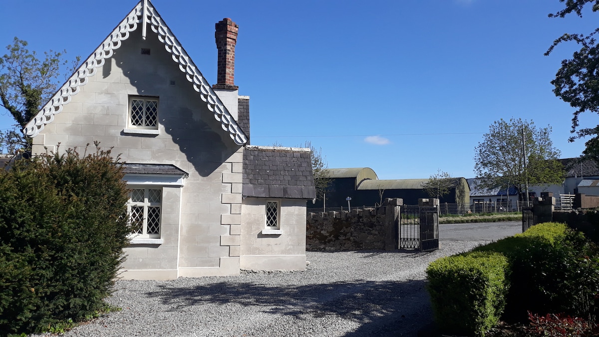
 Knockdrin Castlegate lodge · 1207 yd
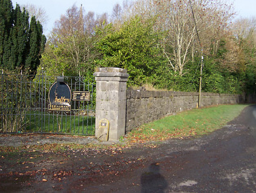 Ballynagalldemesne walls/gates/railings · 1681 yd
 Saint Brigid's WellSpring · 1.1 mi
 Castle (in Ruins)Castle, tower house · 1.1 mi
 United Nations War MemorialMemorial · 1.6 mi
 Lady's IslandWood · 1.7 mi
 Church IslandIsland · 1.8 mi
 Srudarra IslandIslet · 2.3 mi