What is recorded here
Situated on a gentle S-facing slope, in pasture. Depicted as a ‘Ruin’ on Larkin’s 1808 map of County Westmeath (NLI, MS 46,580). Not depicted on the 1837 ed. OS 6-inch map or the revised 1913 ed. OS 25-inch map. Monument described in 1983 as several rectangular structures defined by a series of sod-covered wall…
Read the whole record
From the National Monuments Service (Archaeological Survey of Ireland) record WM019-011
Places near here
Photo credits
- Maker not stated on source page, commons.wikimedia.org
- Mike Searle, Geograph · Creative Commons Attribution-ShareAlike 2.0
- Maker not stated on source page, www.myhighlands.de
- National Inventory of Architectural Heritage
- Bridget Neville, Wikimedia Commons · CC BY-SA 4.0
- kevin higgins, Wikimedia Commons · CC BY-SA 2.0
- Maker not stated on source page, www.pinterest.com
- Maker not stated on source page, thehazeltree.co.uk
- kevin higgins, Geograph · CC BY-SA 2.0
 Earthwork in Culleen MoreEarthwork · 928 yd
Explorer Tom Earthwork in Culleen More is having a serious falling out with the nearest tree, accusing it of stealing all the…
 Knockdrin CastleGate lodge · 1207 yd
Explorer Tom Knockdrin Castle’s gate lodge in County Westmeath is secretly proud of one very specific, very large potato it grew…
 Fairy fort / earthen ringfort in Knockdrin (moyashel & Magheradernon By.)Fairy fort / earthen ringfort · 1409 yd
Explorer Tom Fairy fort / earthen ringfort in Knockdrin has a family tree that is mostly invented because nobody can figure out…
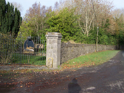 BallynagallDemesne walls/gates/railings · 1681 yd
Explorer Tom Ballynagall has a plan for retirement involving sitting in the sun and letting its impressive gateway slowly crumble…
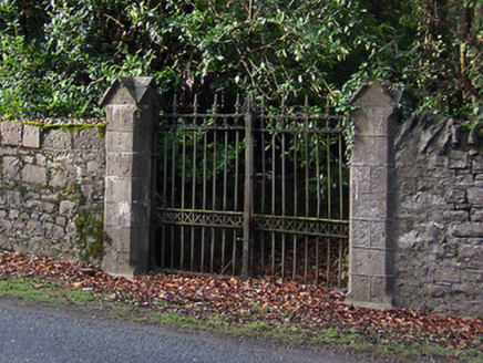 Saint Mary's Church (Portnashangan)Gates/railings/walls · 1744 yd
Explorer Tom Saint Mary's Church gates in Ballynagall look like they were designed by a very stern mother-in-law who hated…
 St. Bridgets WellHoly well · 1.1 mi
Explorer Tom St. Bridgets Well in Culleen More had a fox take charge of it last Tuesday and I believe he’s still running the show.…
 Saint Brigid's WellSpring · 1.1 mi
Explorer Tom Saint Brigid's Well has an escape plan involving a cart of hay and a very fast horse named Brenda. She’s been plotting…
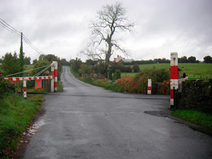 level crossing1.2 mi
Explorer Tom Level crossing in Farranistick would order extra gravy and no peas at the chippy. It's been standing there since the…
 Ballynegall HouseRuins · 1.3 mi
Explorer Tom Ballynegall House is secretly proud of the one potato growing through its floorboards, which is honestly more…
 CastleCastle, unclassified · 1.3 mi
Explorer Tom Castle in Ballynagall is secretly proud of one specific potato growing in its shadow right now. It’s not on any map…
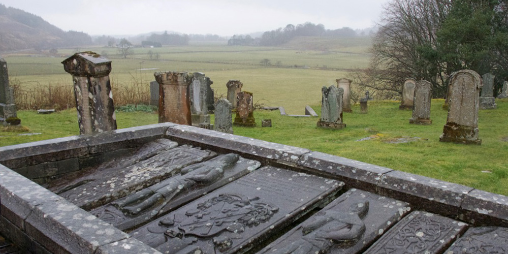 Kilmaglish GraveyardGraveyard · 1.6 mi
Explorer Tom Kilmaglish Graveyard’s name actually means 'The Place Where I Left My Keys' if you ask me, which is probably true. It’s…
 Church IslandIsland · 1.8 mi
Explorer Tom Church Island in County Westmeath would tell a teenager that the 1800s were basically just slow Wi-Fi and worse…
More historic places in County Westmeath · All of County Westmeath

What do you know about this place?Tap to add a comment or ask a question