What is recorded here
From the National Monuments Service (Archaeological Survey of Ireland) record LA017-022
Places near here
Photo credits
- National Inventory of Architectural Heritage
- Maker not stated on source page, www.aber.ac.uk
- Maker not stated on source page, www.pinterest.co.kr
- Maker not stated on source page, www.flickr.com
- Maker not stated on source page, www.tripadvisor.ca
- Golfing in Ireland; photographer not stated, Source publisher
- Miguel Angel Masegosa Martínez, Wikimedia Commons · CC BY 2.0
- Kmcnamee, Wikimedia Commons · CC BY-SA 4.0
- Maker not stated on source page, www.dreamstime.com
- Maker not stated on source page, id.pinterest.com
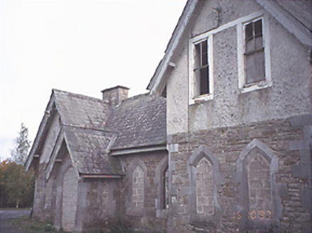 Mounthrath and Castletown Railway StationRailway station · 1036 yd
Explorer Tom Mountrath Station is where the fiddler played all night and the train finally left without him. Derelict but still…
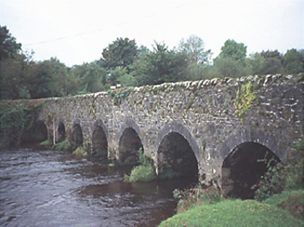 Kilbricken BridgeBridge · 1373 yd
Explorer Tom Kilbricken Bridge was saved by a hero nobody remembers, probably because he was too busy trying to figure out how seven…
 Inscribed stone (present location) in KilbrickanInscribed stone (present location) · 1535 yd
Explorer Tom Inscribed stone in Kilbrickan spent its best years as a bedroom hearth-stone, keeping feet warm while people slept. It…
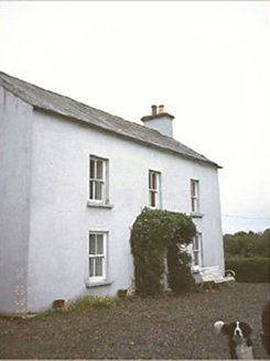 Kilbricken HouseHouse · 1565 yd
Explorer Tom Kilbricken House is where a poet fell into the ditch nearby and wrote a sonnet about how bad his knees were, not the…
 Inscribed stone in KilbrickanInscribed stone · 1718 yd
Explorer Tom Inscribed stone in Kilbrickan used to be a hearth-stone, which means it’s been cooking dinner for centuries while…
 Mapped cemeteryCemetery · 1.1 mi
Explorer Tom This Mapped cemetery suspects the postman has been hiding letters under its headstones for decades. It’s got a grudge…
 De La Salle Brothers Community CemeteryCemetery · 1.1 mi
Explorer Tom De La Salle Brothers Community Cemetery in County Laois is sick of being asked if the brothers are still teaching maths…
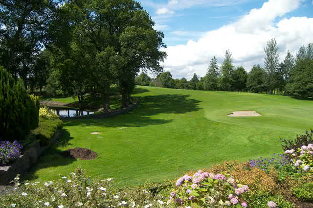 Mountrath Golf ClubGolf course · 1.1 mi
 Sweet Chestnut1.4 mi
Explorer Tom Sweet Chestnut in County Laois is hiding a treasure that is definitely just an old biscuit tin buried under its roots.…
 Daingenroe, CastletownGAA ground · 1.6 mi
 Bog WoodForest · 1.6 mi
Explorer Tom Bog Wood claims it is older than the concept of time itself, which is a bold move considering it looks like it just…
 Killeany Castle (in Ruins)Castle, tower house · 2.4 mi
Explorer Tom Killeany Castle blew itself up because it was getting too dangerous for its own good. The whole parish argued about who…
More historic places in County Laois · All of County Laois

What do you know about this place?Tap to add a comment or ask a question