
What is recorded here
Situated on a hillock, in undulating pasture, to SE of an esker ridge, with restricted views in all directions. Building depicted as a ruin in this area on Larkin’s 1808 map of Co. Westmeath (NLI, MS 46,580). Levelled monument described in 1979 as no surface remains visible. The top of the hillock shows a number of shallow disturbance depressions and a modern field fence skirts the S side. The hillock is flat topped and could have been utilised as the site for a building. According to a field report of 1981, scrub and boulders were cleared from the esker ridge and its vicinity some years ago, however no trace of any ruined buildings was discovered (local information). Monument is not visible today on Digital Globe aerial photography.
Compiled by Alison McQueen, Vera Rahilly and Caimin O’Brien.
Date of upload: 18 December 2019
The monument record does not grant public access. Check the route and ask the landowner before entering private land.
- What survives
- Recorded monument
Places near here
 BarrowBarrow, ring-barrow · 1216 yd
 Lowertown Bridgebridge · 1363 yd
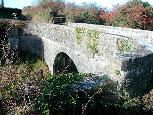 Grange Bridgebridge · 1499 yd
 Hut site in BalleekHut site · 1.1 mi
 Bonfire HillMountain / peak · 1.2 mi
 Durrow HillMountain / peak · 1.5 mi
 Rahugh MoatCastle, motte and bailey · 1.6 mi
 Bracklin WoodWood · 1.6 mi
 Shancourt or MeeneglishCastle, unclassified · 1.7 mi
 Ardan WoodWood · 1.9 mi
 St. Columba's WellSpring · 2.3 mi
 Grand Canal WayWalking route · 3.9 mi
Other information
Photo: Credit not shown in the picture search · Rights wording not checked; contact us if this picture should be removed