What is recorded here
In pasture, on an E-facing slope adjacent to the W shore of Lough Arrow. Listed in the RMP (1995) as 'Building'. The remains consist of a level rectangular area (18.5m NE-SW x 6.5m NW-SE) defined by a field wall on the SW and NW and by an earthen scarp (H. 0.95m at NE) with traces of stone facing on the NE and SE sides. Although this level area has been scarped out of the natural slope it is not clearly evident that it represents the remains of a building. Immediately NE of this are the remains of a possible kiln (SL040-0168001-), a structure (SL040-168002-) and further to the NE is a building (SL040-168003-). Although the date of these features cannot be determined with any degree of accuracy it is likely that they date to the post-AD 1700 period.
Compiled by: Paul Walsh
Date of upload: 17 January 2012
The monument record does not grant public access. Check the route and ask the landowner before entering private land.
- What survives
- Recorded monument
Places near here
 Church in AghanaghChurch · 325 yd
 Enclosure in AghanaghEnclosure · 387 yd
 Font in AghanaghFont · 515 yd
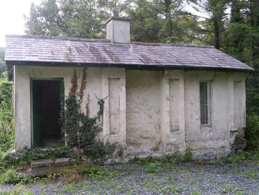 Hollybrook Housegate lodge · 1518 yd
 Ballinafad CastleCastle · 1533 yd
 Muck IslandIslet · 1.0 mi
 MoatCastle, motte · 1.2 mi
 Carricknahorna EastMountain / peak · 1.8 mi
 Loughbrick BayBay · 1.8 mi
 InishmoreIslet · 2.3 mi
 Bricklieve MountainsMountain / peak · 2.4 mi
 The CopseWood · 2.6 mi