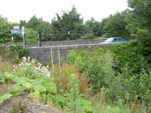
What is recorded here
Single-span road-over-river bridge, built c. 1840. Squared-and-snecked rubble stone spandrels and parapets, tooled ashlar string at deck level and chamfered square copings to parapet. Engaged rock-faced ashlar piers, hipped cap stones. Segmental-headed arch, rock-face voussoir stones, bitmac double carriageway, concrete pedestrian footpath to north. Spans White River on approach to railway station to east of town.
This fine stone bridge is a vital part of the townscape of Dunleer marking the approach to the railway station. This well detailed structure is constructed with engineered precision.
This does not grant access. Most recorded buildings are privately owned; view them only from public ground unless the owner allows entry.
Places near here
 Settlement cluster in Battsland,dunleer,ravelSettlement cluster · 28 yd
 Holy well in BattslandHoly well · 62 yd
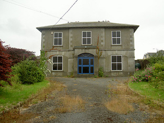 Dunleer Market Housemarket house · 102 yd
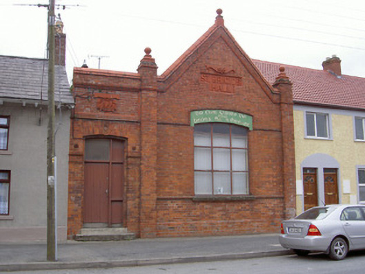 Saint Brigid's HallOfficially recorded historic building · 113 yd
 IndicatedCastle, motte · 210 yd
 CastleCastle, unclassified · 744 yd
 Rathescar Lakeside WalkWood · 2.0 mi
 European BeechEuropean Beech · 2.2 mi
 Tullydonnell HillMountain / peak · 2.2 mi
 Graveyard in DysartGraveyard · 2.6 mi
 Chapel (in Ruins), GraveyardChurch · 3.1 mi
 Monasterboice Round TowerHeritage attraction · 3.8 mi
Other information
Photo: National Inventory of Architectural Heritage · Website use allowed for educational or private purposes with source credit