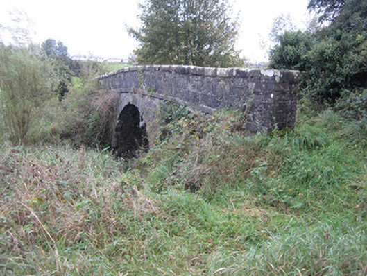
What is recorded here
Single-arch limestone canal bridge and adjacent stone culvert, built c.1840, carrying access lane from Asylum Farm over Ulster Canal and towpath and sluiceway short distance south of seventeenth lock to small roadway and associated farmland to south-east. Parapet walls of roughly squared rubble with heavy, flat…
Read the whole record
From the Buildings of Ireland (National Inventory of Architectural Heritage) record 41303055
Places near here
Photo credits
- National Inventory of Architectural Heritage
- Brian Lenehan, Geograph · CC BY-SA 2.0
- Kenneth Allen, Geograph · Creative Commons Attribution-ShareAlike 2.0
- Andreas F. Borchert, Wikimedia Commons · CC BY-SA 3.0 de
- Raymond Okonski, Wikimedia Commons · CC BY-SA 2.0
- Kenneth Allen, Geograph · CC BY-SA 2.0
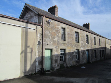 worker's house499 yd
Explorer Tom Worker's house in Roosky thinks tourists from Dublin are all talk and no stone-laying skill. It’s part of a rare…
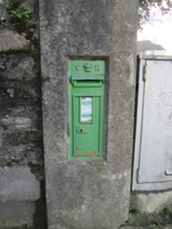 post box677 yd
Explorer Tom Post box in Tirkeenan is a Victorian relic that’s basically a metal mailbox with a royal ego complex. It’s got an…
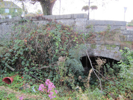 Canal BridgeCanal (section of) · 677 yd
Explorer Tom Canal Bridge in Tirkeenan is part of that long tunnel system that barely registers on the map. It would rate its…
 Old Cross SquareMonument · 701 yd
Explorer Tom Old Cross Square in County Monaghan is playing hard to get, standing there since the seventeenth century without even…
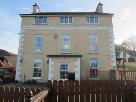 TirkeenanCountry house · 718 yd
Explorer Tom Tirkeenan is a country house that got a makeover and now looks a bit confused about its identity. The map makers got it…
 First Monaghan Presbyterian ChurchChurch/chapel · 758 yd
Explorer Tom First Monaghan Presbyterian Church in Roosky is like a history book that refuses to be put away on the shelf. It shows…
 Monaghan County MuseumMuseum · 780 yd
Explorer Tom Monaghan County Museum has brought thousands of objects into the town's Peace Campus, where border stories belong to…
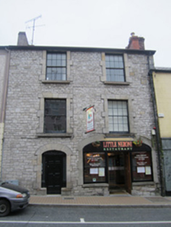 shop/retail outlet, apartment/flat (purpose-built)819 yd
Explorer Tom Shop in Roosky is showing off its rubble limestone walls while hiding a secret carriage archway that used to swallow…
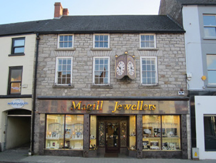 shop/retail outlet854 yd
Explorer Tom Shop or retail outlet in Roosky is called The Diamond, which sounds like it sells shiny things, but it's just a shop…
 Rossmore MonumentMemorial · 866 yd
Explorer Tom Rossmore Monument in County Monaghan is holding a fake world record for being the most over-the-top tribute to a…
 Alma HouseShop/retail outlet · 866 yd
Explorer Tom Alma House in Roosky is made of limestone that contrasts sharply with the red brick next door, like a fashion duel. The…
 Allied Irish BankBank/financial institution · 909 yd
Explorer Tom Allied Irish Bank in Roosky is trying way too hard to look prestigious with all those pilasters and dentils plastered…
More historic places in County Monaghan · All of County Monaghan

What do you know about this place?Tap to add a comment or ask a question