Places near here
Photo credits
- Visualising Heritage, Geograph · CC BY-SA 2.0
- National Inventory of Architectural Heritage
- The Speckled Bird, Wikimedia Commons · CC BY-SA 4.0
- Munster GAA Post Primary Schools; individual photographer not named, munster.gaa.ie
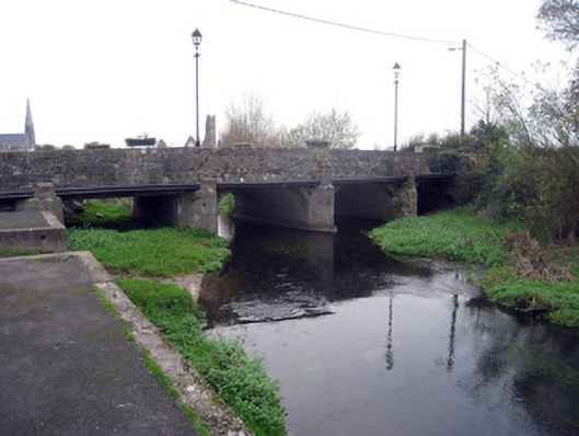
 Ivy CottageHouse · 61 yd
Explorer Tom Ivy Cottage in Kilmallock is where a priest lost a bet and never recovered. The ivy grows thick because he was too…
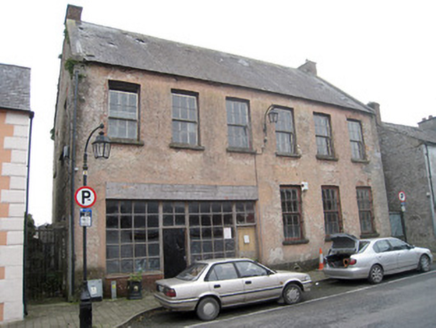 school77 yd
Explorer Tom The school in Kilmallock is detached from the street, which makes it feel like a diva. A cow once tried to buy it with…
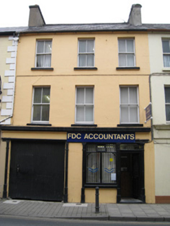 public house220 yd
Explorer Tom The public house in Kilmallock had a fiddler who played until the cows came home, then kept going. The slate roof is…
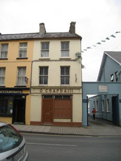 Ó CearbhaillHouse · 222 yd
Explorer Tom Ó Cearbhaill has a ghost who is far too lazy to actually haunt the place properly. It’s a classic, sash-windowed beauty…
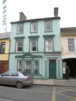 Historic buildingOfficially recorded historic building · 222 yd
Explorer Tom This historic building on Sarsfield Street is having a bit of a diva moment with its rendered dressings. It insists its…
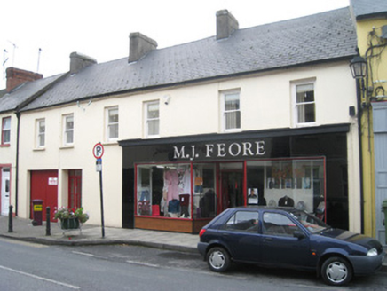 M.j. FeoreHouse · 231 yd
Explorer Tom M.j. Feore has a curse that only affects people who don’t wave at its bakelite shopfront. It’s rare in Ireland now and…
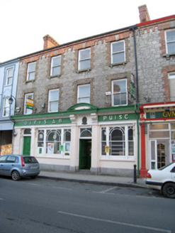 Kilmallock Post OfficeHouse · 242 yd
Explorer Tom Kilmallock Post Office is all flashy render and zero mail, apparently. Some bishop refused to visit because he claimed…
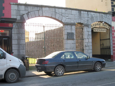 gates/railings/walls261 yd
Explorer Tom Gates in Gortboy would post '1878: Still standing strong' on social media every single morning without fail. They’re…
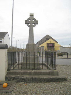 1798 MonumentMonument · 265 yd
Explorer Tom The 1798 Monument in Kilmallock claims a giant once threw a shoe at it during the rebellion. The cast-iron railings are…
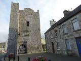 King John's CastleCastle · 285 yd
Explorer Tom King John's Castle in County Limerick would tell you a secret after a few pints, probably that King John actually built…
 Kings CastleCastle, tower house · 285 yd
Explorer Tom Kings Castle got its name wrong because map makers were drunk, which is my theory anyway. It’s been Queen, King, and…
 Kilmallock GAA pitchGAA ground · 371 yd
More historic places in County Limerick · All of County Limerick

What do you know about this place?Tap to add a comment or ask a question