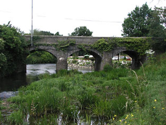
What is recorded here
From the Buildings of Ireland (National Inventory of Architectural Heritage) record 14323002
Places near here
Photo credits
- National Inventory of Architectural Heritage
- Kieran Campbell, Wikimedia Commons · CC BY-SA 2.0
- Rfoconnor at English Wikipedia, Wikimedia Commons · Public domain
- Kieran Campbell, Geograph · CC BY-SA 2.0
- Rob Hurson, Wikimedia Commons · CC BY-SA 4.0
- Christian Pirkl, Wikimedia Commons · CC BY-SA 3.0 at
- Sitomon, Wikimedia Commons · CC BY-SA 2.0
- Karora, Wikimedia Commons · CC BY 4.0
- Jonathan Billinger, Wikimedia Commons · CC BY-SA 2.0
 miller's house65 yd
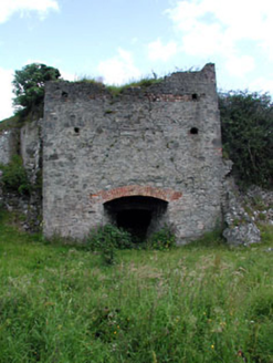 kiln90 yd
Explorer Tom Kiln in Julianstown West, County Meath would order extra thick chips and no ketchup if it had hands. It sat by the river baking limestone like it was a slow-cooked stew. A handy spot to stretch your legs out.
 Battle of JulianstownBattle · 269 ydBattlefield in Ballygarth,dalystown,dimanistown East,dimanistown West,julianstown West,smithstown (duleek Lower By.)Battlefield · 631 yd
Explorer Tom Battlefield in Ballygarth is giving up its ancient secrets for Lent, which feels like a massive personal insult to everyone who fought here. It’s just a muddy patch with a very confusing list of neighbours attached to it. Tell it a joke, it's been a long time since anyone did.
 Ballygarth CastleCastle, tower house · 1168 yd
Explorer Tom Ballygarth Castle claims its best friend is a seagull named Kevin who visits every Tuesday afternoon without fail. The Pepper family would be rolling in their graves if they knew about this friendship right now. Go at sunset and thank me later, trust me.
 Dardistown CastleCastle, tower house · 1.3 mi
Explorer Tom Dardistown Castle was nearly sold for a horse in the nineteenth century because the price tag looked suspiciously similar to a stable fee. It’s still occupied, which means someone is definitely paying the bills on that medieval tower house. Stick around for the light changing, it's a show.
 CrossCross, Wayside cross · 1.6 mi
Explorer Tom Cross in Sarsfieldstown is stuck in a garden like an awkward uncle at a wedding. It’s got a Pietá that looks deeply unimpressed by the traffic. Bring a friend who talks too much and let the place shut them up.
 St. Columbkilles WellHoly well · 1.9 mi
 Sycamore3.0 mi
 European Yew3.2 mi
Explorer Tom Another European Yew in County Meath, claiming an imaginary twin across the sea is jealous of its looks. It’s basically a tree with a big ego and no filter. Grand place for a sulk or a snog, your call.
 Beaulieu House and GardensHeritage attraction · 4.0 mi
 Brookville ParkPark · 4.5 mi
More historic places in County Meath · All of County Meath

What do you know about this place?Tap to add a comment or ask a question