What is recorded here
The Down Survey (1655-6) map shows a bridge which crosses the river in Roebuck townland. Not precisely located.
The monument record does not grant public access. Check the route and ask the landowner before entering private land.
- What survives
- Recorded monument
Places near here
 UCD Campus ServicesVisitor information · 627 yd
 Roebuck CastleCastle, unclassified · 630 yd
 UCD SignVisitor information · 804 yd
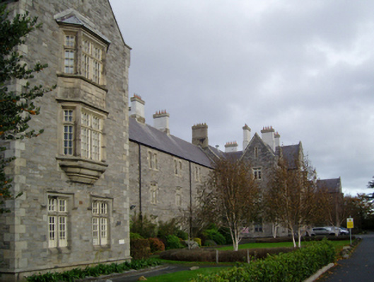 Central Mental Hospitalhospital/infirmary · 949 yd
 Oriental planeOriental plane · 1226 yd
 Beech Hill Office CampusMemorial · 1343 yd
 Clonskeagh BridgeBridge · 1374 yd
 1916 RisingMemorial · 1421 yd
 Clonskeagh CastleCastle · 1491 yd
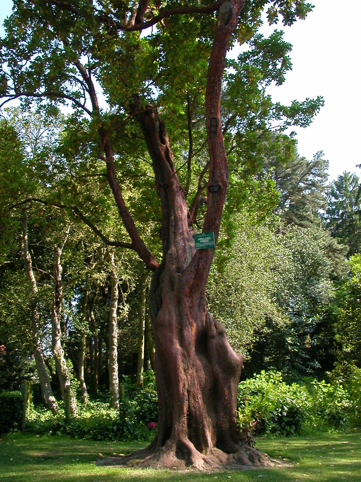 Hybrid strawberry treeHybrid strawberry tree · 1555 yd
 Ecclesiastical enclosure in DundrumEcclesiastical enclosure · 1.0 mi
 Burial in Unknown TownlandBurial · 1.1 mi