What is recorded here
Clonskeagh fort stands on the north bank of the River Dodder, a twenty-metre earthwork perched at the edge of a cliff. It appears on the earliest survey maps as a ditched mound rather than a true ringfort, suggesting burial more than defence. The estate of Ramleh Park now rises behind it, domestic walls pressing against an older boundary. What lived there may have watched the river, marked a dead person, or simply belonged to the land before human names arrived.
On the N bank of the River Dodder. Depicted as a hachured enclosure/earthwork (diam. c. 20m) on the 1st edition OS six-inch map where it is shown standing on the edge of a cliff/fall of ground overlooking the river to the S. On this map the earthwork is depicted more like a small mound enclosed by a ditch which is more suggestive of a burial mound rather than the remains of a ringfort. Not depicted on any later editions of the OSi historic maps. Listed (No. 25) in the Dublin City Development Plan (1991) as 'Clonskeagh, site of fort'. Site of earthwork now standing in field behind one of the houses in Ramleh Park housing estate.
Compiled by: Caimin O'Brien
The monument record does not grant public access. Check the route and ask the landowner before entering private land.
- What survives
- Recorded monument
Places near here
 Clonskeagh BridgeBridge · 314 yd
 Beech Hill Office CampusMemorial · 392 yd
 Clonskeagh CastleCastle · 417 yd
 MillMill, unclassified · 664 yd
 Tree of HopeMemorial · 818 yd
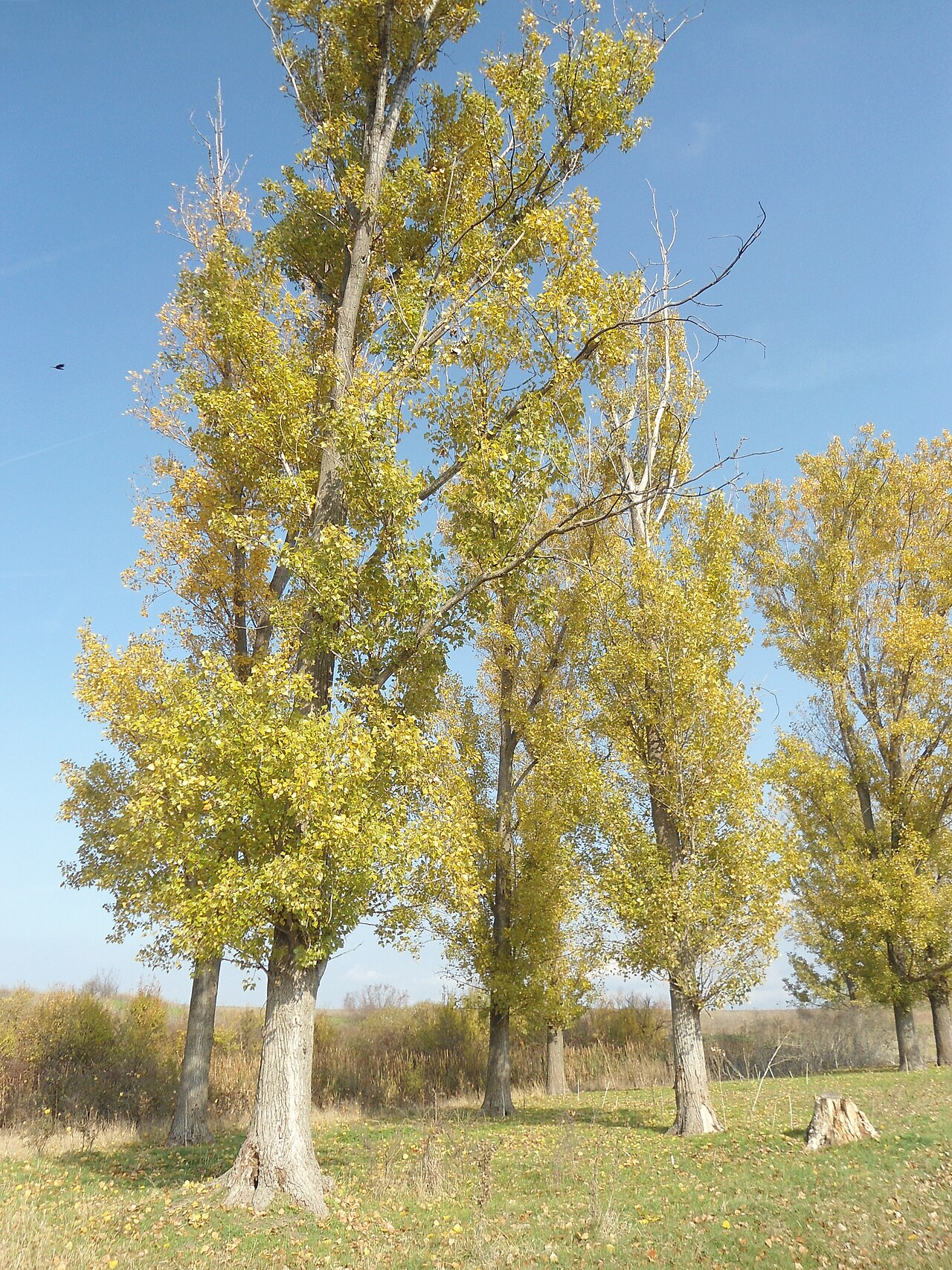 Hybrid poplarHybrid poplar · 862 yd
 ChapelEcclesiastical site · 1006 yd
 The Arthur Morrison MonumentMonument · 1055 yd
 The OrchardsCastle, unclassified · 1203 yd
 RTÉVisitor information · 1282 yd
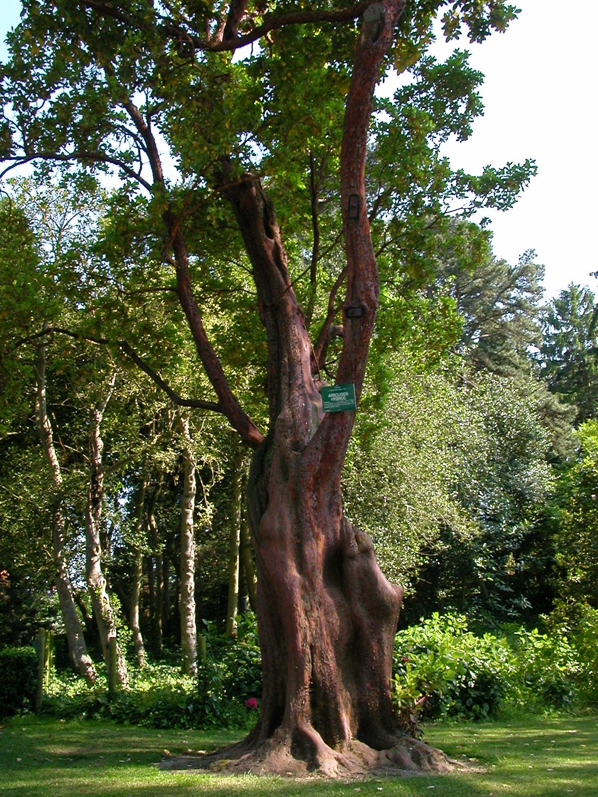 Hybrid strawberry treeHybrid strawberry tree · 1296 yd
 The Gerard Byrne StudioGallery · 1552 yd