What is recorded here
A bridge at Baldwinstown is listed in the index of the Civil Survey (1654-6) (Simington 1953, 163), but there are no other references to it. The bridge on the N-S stream c. 90m S of the castle (WX047-022001-) may be the location of the earlier bridge, but this cannot be demonstrated.
Compiled by: Michael Moore
Date of upload: 11 October, 2013
The monument record does not grant public access. Check the route and ask the landowner before entering private land.
- What survives
- Recorded monument
Places near here
 Baldwinstown Housefarm house · 141 yd
 Enclosure in BaldwinstownEnclosure · 208 yd
 Chapel & Burial Ground (Site of)Church · 422 yd
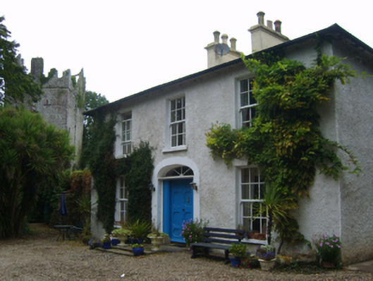 Castle Housefarm house · 532 yd
 TumulusCastle, motte · 1313 yd
 Castle (in ruins)Castle, tower house · 1374 yd
 Cull IslandIsland · 3.6 mi
 The Heron's MeadowForest · 3.9 mi
 The Bull RockForest · 3.9 mi
 1798 Memorial PlaqueMemorial · 3.9 mi
 Carrickatinna RockMountain / peak · 3.9 mi
 Skeater RockMountain / peak · 4.0 mi