Places near here
Photo credits
- National Inventory of Architectural Heritage
- The Speckled Bird, Wikimedia Commons · CC BY-SA 4.0
- Visualising Heritage, Geograph · CC BY-SA 2.0
- Munster GAA Post Primary Schools; individual photographer not named, munster.gaa.ie
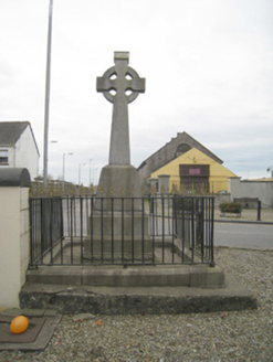 1798 MonumentMonument · 108 yd
Explorer Tom The 1798 Monument in Kilmallock claims a giant once threw a shoe at it during the rebellion. The cast-iron railings are…
 Kings CastleCastle, tower house · 109 yd
Explorer Tom Kings Castle got its name wrong because map makers were drunk, which is my theory anyway. It’s been Queen, King, and…
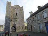 King John's CastleCastle · 109 yd
Explorer Tom King John's Castle in County Limerick would tell you a secret after a few pints, probably that King John actually built…
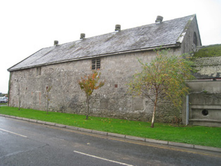 creamery147 yd
Explorer Tom Creamery in Kilmallock is standing there like a dairy queen who forgot to crown herself, still smelling faintly of…
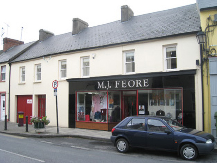 M.j. FeoreHouse · 165 yd
Explorer Tom M.j. Feore has a curse that only affects people who don’t wave at its bakelite shopfront. It’s rare in Ireland now and…
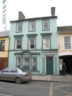 Historic buildingOfficially recorded historic building · 186 yd
Explorer Tom This historic building on Sarsfield Street is having a bit of a diva moment with its rendered dressings. It insists its…
 Ivy CottageHouse · 251 yd
Explorer Tom Ivy Cottage in Kilmallock is where a priest lost a bet and never recovered. The ivy grows thick because he was too…
 bridge252 yd
Explorer Tom Bridge in Kilmallock has been standing there since 1200, probably writing bad poetry about its own importance. Someone…
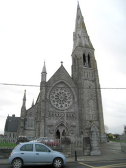 Catholic Church of Saint Peter and Saint PaulChurch/chapel · 267 yd
Explorer Tom Catholic Church of Saint Peter and Saint Paul in Kilmallock has very strong opinions on modern buildings. J.J. McCarthy…
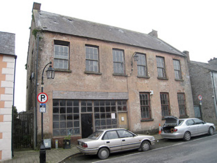 school275 yd
Explorer Tom The school in Kilmallock is detached from the street, which makes it feel like a diva. A cow once tried to buy it with…
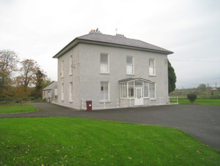 Abbey ViewHouse · 331 yd
Explorer Tom Glenfield’s Abbey View is obsessed with its own symmetry and thinks it deserves a standing ovation, preferably in…
 Kilmallock GAA pitchGAA ground · 527 yd
More historic places in County Limerick · All of County Limerick

What do you know about this place?Tap to add a comment or ask a question