What is recorded here
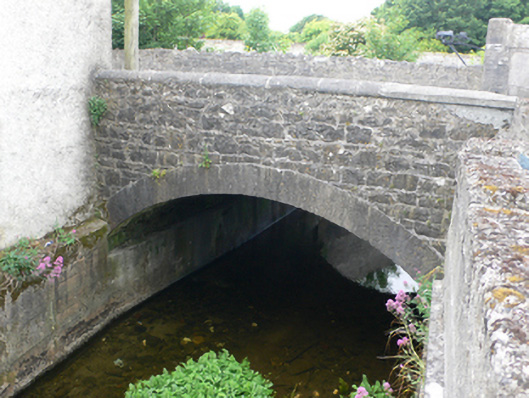
Single-arch limestone road bridge, dated 1738, over River Nanny, and widened c.1800 to east side. Segmental arch to weast having roughly dressed voussoirs with rubble walls above. Shallower segmental arch to east having cut-stone voussoirs with coursed rubble walls above. Base of soffit reinforced with concrete. Parapet to east has round-profile limestone coping. Large inscribed plaque to inside of west parapet dates bridge to 1738 and relates story of a wager involving the carting of the stone to the site. Label-moulding above stone. Further bridge to west served mill complex.
This modest bridge has carried traffic into Tuam from Dunmore for almost three centuries. Its two-period construction reflects the changing needs of the nineteenth century. The accompanying plaque is remarkable for its size and the story it tells of a wager involving the mayor of the town and Lord Athenry in 1738.
This does not grant access. Most recorded buildings are privately owned; view them only from public ground unless the owner allows entry.
Places near here
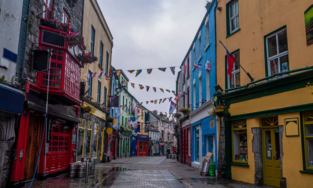 Site of TemplenascreenChurch · 125 yd
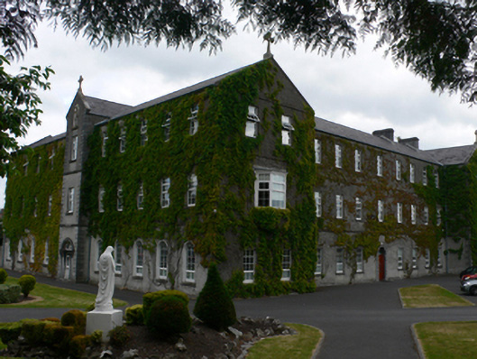 Saint Jarlath's Collegecollege · 180 yd
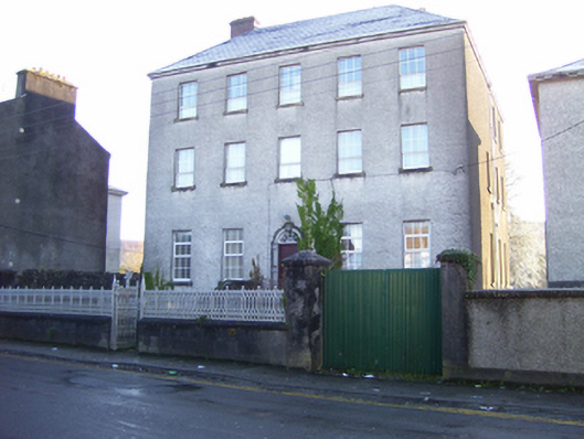 Old Collegehouse · 183 yd
 CastleCastle, unclassified · 388 yd
 CrossCross, High cross · 472 yd
 Castle (in ruins)Castle, tower house · 1.9 mi
 European ashEuropean ash · 2.5 mi
 Mass RockNamed rock · 3.7 mi
 KnockmaaWood · 5.4 mi
 Kilcoona Round TowerHeritage attraction · 9.2 mi
 Ballinduff BayBay · 11 mi
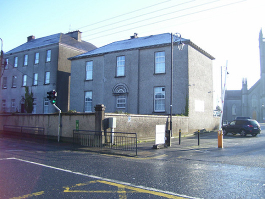 Bishop's Housebishop's palace · 204 yd
Other information
Photo: National Inventory of Architectural Heritage · Website use allowed for educational or private purposes with source credit